Enderlin geodata
Enderlin (North Dakota) is a populated place; located in United States in America/Chicago (GMT-5) time zone. With population of 872 people, there are 17174 cities with bigger population in this country. Compared to other cities in United States, 96% of cities are located further ↓South; 77.4% of cities are located further →East and 77.1% of cities have lower elevation than Enderlin. Note1


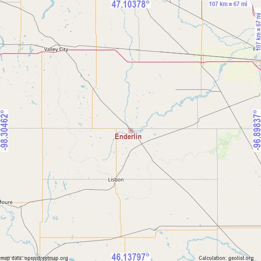
Enderlin GPS coordinates[2]
46° 37' 22.908" North, 97° 36' 5.364" West
| Map corner | latitude | longitude |
|---|---|---|
| Upper-left | 47.10378°, | -98.30462° |
| Center: | 46.62303°, | -97.60149° |
| Lower-right: | 46.13797°, | -96.89837° |
| Map W x H: | 107.4×107.4 km | = 66.7×66.7mi |
| max Lat: | 71.29058° ⇑4% North |
| Enderlin: | 46.62303° |
| min Lat: | ⇓96% South 19.06759° |
| min Long | Enderlin | max Long |
| -171.73463° | -97.60149° | -66.98998° |
| W 22.6%⇐ | ⇒77.4% E |
Elevation
Elevation of Enderlin is 328 m = 1076 ft, and this is 33.2 m = 109 ft above average elevation for this country.
| Max E: |
3189 m = 10463 ft | 22.9% |
| Enderlin | 328 m 1076 ft | |
| Avg. | 294.8 m = 967 ft | |
Min E: |
-60 m = -197 ft | 77.1% |
See also: United States elevation on elevation.city.
Geographical zone
Enderlin is located in North temperate zone (between Tropic of Cancer and the Arctic Circle). Distance of this North polar circle is 2217.2 km =1377.7 mi to North.| Distance of | km | miles | from Enderlin |
|---|---|---|---|
| North Pole | 4823.1 | 2996.9 | to North |
| Arctic Circle | 2217.2 | 1377.7 | to North |
| Tropic Cancer | 2578.1 | 1602 | to South |
| Equator | 5184 | 3221.2 | to South |


Nearby cities:
15 places around Enderlin: (largest is in red/bold)
• Casselton
42.8 km =26.6 mi,  43°
43°
• Forman
57.4 km =35.7 mi,  182°
182°
• Gwinner
44.4 km =27.6 mi,  186°
186°
• Harwood
67.7 km =42.1 mi,  54°
54°
• Horace
55.3 km =34.4 mi,  74°
74°
• Kindred
44.7 km =27.8 mi,  86°
86°
• LaMoure
60.7 km =37.7 mi,  240°
240°
• Lisbon
21.1 km =13.1 mi,  196°
196°
• Mapleton
51.2 km =31.8 mi, 54°
• Milnor
42 km =26.1 mi,  164°
164°
• Oakes
65.6 km =40.8 mi,  214°
214°
• Reiles Acres
65.2 km =40.5 mi,  59°
59°
• Sheldon
9.4 km =5.8 mi,  116°
116°
• Valley City
45.3 km =28.1 mi,  317°
317°
• West Fargo
60.3 km =37.5 mi, 62°
Sources, notices
• [Note1] Compared only with cities in United States existing in our database
• [Src1] Map data: © OpenStreetMap contributors (CC-BY-SA)
• [Src2] Other city data from geonames.org with taken over terms of usage.
• [Src3] Geographical zone / Annual Mean Temperature by Robert A. Rohde @ Wikipedia
