Seabrook Beach geodata
Seabrook Beach (New Hampshire) is a populated place; located in United States in America/New_York (GMT-4) time zone. With population of 992 people, there are 16328 cities with bigger population in this country. Compared to other cities in United States, 82.4% of cities are located further ↓South; 98% of cities are located further ←West and 98.1% of cities have higher elevation than Seabrook Beach. Note1
Administrative division(s):
- Level 1: New Hampshire
- Level 2: Rockingham County
- Level 3: Town of Seabrook


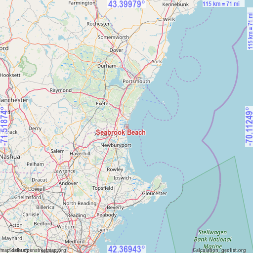
Seabrook Beach GPS coordinates[2]
42° 53' 12.336" North, 70° 48' 56.196" West
| Map corner | latitude | longitude |
|---|---|---|
| Upper-left | 43.39979°, | -71.51874° |
| Center: | 42.88676°, | -70.81561° |
| Lower-right: | 42.36943°, | -70.11249° |
| Map W x H: | 114.6×114.6 km | = 71.2×71.2mi |
| max Lat: | 71.29058° ⇑17.6% North |
| Seabrook Beach: | 42.88676° |
| min Lat: | ⇓82.4% South 19.06759° |
| min Long | Seabrook Beach | max Long |
| -171.73463° | -70.81561° | -66.98998° |
| W 98%⇐ | ⇒2% E |
Elevation
Elevation of Seabrook Beach is 5 m = 16 ft, and this is 289.8 m = 951 ft below average elevation for this country.
| Max E: |
3189 m = 10463 ft | 98.1% |
| Avg. | 294.8 m = 967 ft | |
| Seabrook Beach | 5 m = 16 ft | |
Min E: |
-60 m = -197 ft | 1.9% |
See also: United States elevation on elevation.city.
Geographical zone
Seabrook Beach is located in North temperate zone (between Tropic of Cancer and the Arctic Circle). Distance of this Northern Tropic circle is 2162.6 km =1343.8 mi to South.| Distance of | km | miles | from Seabrook Beach |
|---|---|---|---|
| North Pole | 5238.5 | 3255.1 | to North |
| Arctic Circle | 2632.6 | 1635.8 | to North |
| Tropic Cancer | 2162.6 | 1343.8 | to South |
| Equator | 4768.6 | 2963.1 | to South |


Nearby cities:
15 places around Seabrook Beach: (largest is in red/bold)
• Amesbury
9.8 km =6.1 mi,  251°
251°
• East Kingston
16.9 km =10.5 mi,  284°
284°
• Exeter
15.1 km =9.4 mi,  314°
314°
• Greenland
16.7 km =10.4 mi,  355°
355°
• Hampton
6 km =3.7 mi,  341°
341°
• Hampton Beach
2.3 km =1.4 mi,  7°
7°
• Hampton Falls
5.1 km =3.2 mi, 309°
• Kensington
11.4 km =7.1 mi,  293°
293°
• Merrimac
16.4 km =10.2 mi, 247°
• Newburyport
9.7 km =6 mi,  211°
211°
• North Hampton
9.6 km =6 mi,  353°
353°
• Rye
14.5 km =9 mi, 14°
• Salisbury
6.2 km =3.9 mi,  216°
216°
• Seabrook
4.6 km =2.9 mi, 281°
• South Hampton
12 km =7.5 mi,  266°
266°
Sources, notices
• [Note1] Compared only with cities in United States existing in our database
• [Src1] Map data: © OpenStreetMap contributors (CC-BY-SA)
• [Src2] Other city data from geonames.org with taken over terms of usage.
• [Src3] Geographical zone / Annual Mean Temperature by Robert A. Rohde @ Wikipedia
