Geneva-on-the-Lake geodata
Geneva-on-the-Lake (Ohio) is a populated place; located in United States in America/New_York (GMT-4) time zone. With population of 1,214 people, there are 15046 cities with bigger population in this country. Compared to other cities in United States, 74.4% of cities are located further ↓South; 69.6% of cities are located further ←West and 52.5% of cities have higher elevation than Geneva-on-the-Lake. Note1


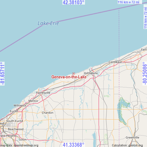
Geneva-on-the-Lake GPS coordinates[2]
41° 51' 34.2" North, 80° 57' 14.328" West
| Map corner | latitude | longitude |
|---|---|---|
| Upper-left | 42.38103°, | -81.65711° |
| Center: | 41.8595°, | -80.95398° |
| Lower-right: | 41.33368°, | -80.25086° |
| Map W x H: | 116.5×116.5 km | = 72.4×72.4mi |
| max Lat: | 71.29058° ⇑25.6% North |
| Geneva-on-the-Lake: | 41.8595° |
| min Lat: | ⇓74.4% South 19.06759° |
| min Long | Geneva-on-the-L | max Long |
| -171.73463° | -80.95398° | -66.98998° |
| W 69.6%⇐ | ⇒30.4% E |
Elevation
Elevation of Geneva-on-the-Lake is 189 m = 620 ft, and this is 105.8 m = 347 ft below average elevation for this country.
| Max E: |
3189 m = 10463 ft | 52.5% |
| Avg. | 294.8 m = 967 ft | |
| Geneva-on-the-Lake | 189 m = 620 ft | |
Min E: |
-60 m = -197 ft | 47.5% |
See also: United States elevation on elevation.city.
Geographical zone
Geneva-on-the-Lake is located in North temperate zone (between Tropic of Cancer and the Arctic Circle). Distance of this Northern Tropic circle is 2048.4 km =1272.8 mi to South.| Distance of | km | miles | from Geneva-on-the-Lake |
|---|---|---|---|
| North Pole | 5352.7 | 3326 | to North |
| Arctic Circle | 2746.8 | 1706.8 | to North |
| Tropic Cancer | 2048.4 | 1272.8 | to South |
| Equator | 4654.3 | 2892 | to South |


Nearby cities:
15 places around Geneva-on-the-Lake: (largest is in red/bold)
• Ashtabula
13.6 km =8.5 mi,  87°
87°
• Austinburg
12.8 km =8 mi,  139°
139°
• Chardon
31.7 km =19.7 mi,  210°
210°
• Edgewood
15.1 km =9.4 mi,  84°
84°
• Fairport Harbor
29.2 km =18.1 mi,  245°
245°
• Geneva
6.1 km =3.8 mi,  175°
175°
• Jefferson
20.3 km =12.6 mi,  131°
131°
• Madison
12.6 km =7.8 mi,  218°
218°
• North Kingsville
22.4 km =13.9 mi, 76°
• North Madison
10.1 km =6.3 mi,  230°
230°
• North Perry
14.8 km =9.2 mi, 247°
• Painesville
28.5 km =17.7 mi,  238°
238°
• Perry
19 km =11.8 mi, 234°
• Roaming Shores
26.4 km =16.4 mi,  155°
155°
• Rock Creek
23.5 km =14.6 mi, 160°
Sources, notices
• [Note1] Compared only with cities in United States existing in our database
• [Src1] Map data: © OpenStreetMap contributors (CC-BY-SA)
• [Src2] Other city data from geonames.org with taken over terms of usage.
• [Src3] Geographical zone / Annual Mean Temperature by Robert A. Rohde @ Wikipedia
