Ravenna geodata
Ravenna (Ohio) is a seat of a second-order administrative division; located in United States in America/New_York (GMT-4) time zone. With population of 11,619 people, there are 3985 cities with bigger population in this country. Compared to other cities in United States, 67.4% of cities are located further ↓South; 68.7% of cities are located further ←West and 79.1% of cities have lower elevation than Ravenna. Note1


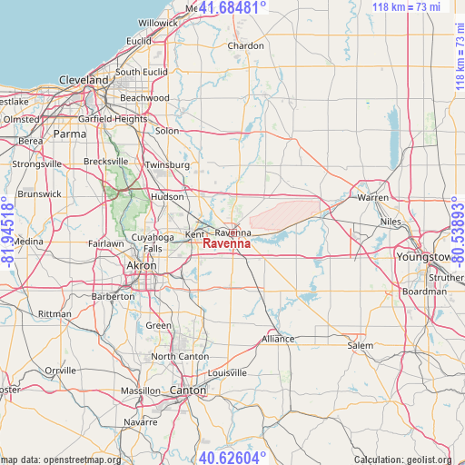
Ravenna GPS coordinates[2]
41° 9' 27.216" North, 81° 14' 31.38" West
| Map corner | latitude | longitude |
|---|---|---|
| Upper-left | 41.68481°, | -81.94518° |
| Center: | 41.15756°, | -81.24205° |
| Lower-right: | 40.62604°, | -80.53893° |
| Map W x H: | 117.7×117.7 km | = 73.1×73.1mi |
| max Lat: | 71.29058° ⇑32.6% North |
| Ravenna: | 41.15756° |
| min Lat: | ⇓67.4% South 19.06759° |
| min Long | Ravenna | max Long |
| -171.73463° | -81.24205° | -66.98998° |
| W 68.7%⇐ | ⇒31.3% E |
Elevation
Elevation of Ravenna is 345 m = 1132 ft, and this is 50.2 m = 165 ft above average elevation for this country.
| Max E: |
3189 m = 10463 ft | 20.9% |
| Ravenna | 345 m 1132 ft | |
| Avg. | 294.8 m = 967 ft | |
Min E: |
-60 m = -197 ft | 79.1% |
See also: United States elevation on elevation.city.
Geographical zone
Ravenna is located in North temperate zone (between Tropic of Cancer and the Arctic Circle). Distance of this Northern Tropic circle is 1970.4 km =1224.3 mi to South.| Distance of | km | miles | from Ravenna |
|---|---|---|---|
| North Pole | 5430.8 | 3374.5 | to North |
| Arctic Circle | 2824.9 | 1755.3 | to North |
| Tropic Cancer | 1970.4 | 1224.3 | to South |
| Equator | 4576.3 | 2843.6 | to South |


Nearby cities:
15 places around Ravenna: (largest is in red/bold)
• Atwater
16.3 km =10.1 mi,  156°
156°
• Aurora
19.8 km =12.3 mi,  334°
334°
• Brimfield
10.8 km =6.7 mi,  233°
233°
• Garrettsville
18.6 km =11.6 mi,  40°
40°
• Hiram
19.1 km =11.9 mi,  25°
25°
• Hudson
19 km =11.8 mi,  298°
298°
• Kent
9.7 km =6 mi,  267°
267°
• Mantua
14.1 km =8.8 mi,  6°
6°
• Mogadore
18 km =11.2 mi, 226°
• Munroe Falls
16.6 km =10.3 mi,  264°
264°
• Silver Lake
17.8 km =11.1 mi, 270°
• Stow
16.6 km =10.3 mi, 270°
• Streetsboro
12.6 km =7.8 mi,  316°
316°
• Tallmadge
17.9 km =11.1 mi,  249°
249°
• Windham
18.3 km =11.4 mi,  61°
61°
Sources, notices
• [Note1] Compared only with cities in United States existing in our database
• [Src1] Map data: © OpenStreetMap contributors (CC-BY-SA)
• [Src2] Other city data from geonames.org with taken over terms of usage.
• [Src3] Geographical zone / Annual Mean Temperature by Robert A. Rohde @ Wikipedia
