Ancient Oaks geodata
Ancient Oaks (Pennsylvania) is a populated place; located in United States in America/New_York (GMT-4) time zone. With population of 6,661 people, there are 6015 cities with bigger population in this country. Compared to other cities in United States, 59.4% of cities are located further ↓South; 85.4% of cities are located further ←West and 66.4% of cities have higher elevation than Ancient Oaks. Note1
Administrative division(s):
- Level 1: Pennsylvania
- Level 2: Lehigh County
- Level 3: Township of Lower Macungie


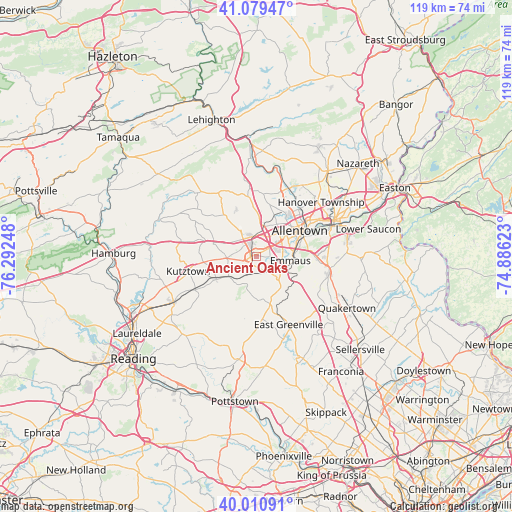
Ancient Oaks GPS coordinates[2]
40° 32' 50.352" North, 75° 35' 21.66" West
| Map corner | latitude | longitude |
|---|---|---|
| Upper-left | 41.07947°, | -76.29248° |
| Center: | 40.54732°, | -75.58935° |
| Lower-right: | 40.01091°, | -74.88623° |
| Map W x H: | 118.8×118.8 km | = 73.8×73.8mi |
| max Lat: | 71.29058° ⇑40.6% North |
| Ancient Oaks: | 40.54732° |
| min Lat: | ⇓59.4% South 19.06759° |
| min Long | Ancient Oaks | max Long |
| -171.73463° | -75.58935° | -66.98998° |
| W 85.4%⇐ | ⇒14.6% E |
Elevation
Elevation of Ancient Oaks is 121 m = 397 ft, and this is 173.8 m = 570 ft below average elevation for this country.
| Max E: |
3189 m = 10463 ft | 66.4% |
| Avg. | 294.8 m = 967 ft | |
| Ancient Oaks | 121 m = 397 ft | |
Min E: |
-60 m = -197 ft | 33.6% |
See also: United States elevation on elevation.city.
Geographical zone
Ancient Oaks is located in North temperate zone (between Tropic of Cancer and the Arctic Circle). Distance of this Northern Tropic circle is 1902.5 km =1182.2 mi to South.| Distance of | km | miles | from Ancient Oaks |
|---|---|---|---|
| North Pole | 5498.6 | 3416.7 | to North |
| Arctic Circle | 2892.7 | 1797.4 | to North |
| Tropic Cancer | 1902.5 | 1182.2 | to South |
| Equator | 4508.4 | 2801.4 | to South |


Nearby cities:
15 places around Ancient Oaks: (largest is in red/bold)
• Alburtis
4.2 km =2.6 mi,  195°
195°
• Allentown
10.8 km =6.7 mi,  50°
50°
• Breinigsville
3.7 km =2.3 mi,  251°
251°
• Cetronia
6.7 km =4.2 mi, 48°
• Dorneyville
6.7 km =4.2 mi,  62°
62°
• Emmaus
7.9 km =4.9 mi,  96°
96°
• Fullerton
13.6 km =8.5 mi, 46°
• Hereford
11.3 km =7 mi,  163°
163°
• Macungie
4.5 km =2.8 mi,  140°
140°
• Mertztown
7.9 km =4.9 mi,  234°
234°
• Red Lion
7.7 km =4.8 mi, 196°
• Schnecksville
14.5 km =9 mi,  349°
349°
• Topton
10.6 km =6.6 mi,  242°
242°
• Trexlertown
1.4 km =0.9 mi,  273°
273°
• Wescosville
3.8 km =2.4 mi, 54°
Sources, notices
• [Note1] Compared only with cities in United States existing in our database
• [Src1] Map data: © OpenStreetMap contributors (CC-BY-SA)
• [Src2] Other city data from geonames.org with taken over terms of usage.
• [Src3] Geographical zone / Annual Mean Temperature by Robert A. Rohde @ Wikipedia
