Bethlehem geodata
Bethlehem (Pennsylvania) is a populated place; located in United States in America/New_York (GMT-4) time zone. With population of 74,892 people, there are 542 cities with bigger population in this country. Compared to other cities in United States, 60.4% of cities are located further ↓South; 86.1% of cities are located further ←West and 68.3% of cities have higher elevation than Bethlehem. Note1
Administrative division(s):
- Level 1: Pennsylvania
- Level 2: Northampton County
- Level 3: City of Bethlehem


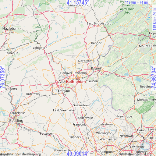
Bethlehem GPS coordinates[2]
40° 37' 33.348" North, 75° 22' 13.656" West
| Map corner | latitude | longitude |
|---|---|---|
| Upper-left | 41.15745°, | -76.07359° |
| Center: | 40.62593°, | -75.37046° |
| Lower-right: | 40.09014°, | -74.66734° |
| Map W x H: | 118.7×118.7 km | = 73.8×73.8mi |
| max Lat: | 71.29058° ⇑39.6% North |
| Bethlehem: | 40.62593° |
| min Lat: | ⇓60.4% South 19.06759° |
| min Long | Bethlehem | max Long |
| -171.73463° | -75.37046° | -66.98998° |
| W 86.1%⇐ | ⇒13.9% E |
Elevation
Elevation of Bethlehem is 111 m = 364 ft, and this is 183.8 m = 603 ft below average elevation for this country.
| Max E: |
3189 m = 10463 ft | 68.3% |
| Avg. | 294.8 m = 967 ft | |
| Bethlehem | 111 m = 364 ft | |
Min E: |
-60 m = -197 ft | 31.7% |
See also: Bethlehem elevation on elevation.city.
Geographical zone
Bethlehem is located in North temperate zone (between Tropic of Cancer and the Arctic Circle). Distance of this Northern Tropic circle is 1911.3 km =1187.6 mi to South.| Distance of | km | miles | from Bethlehem |
|---|---|---|---|
| North Pole | 5489.9 | 3411.3 | to North |
| Arctic Circle | 2884 | 1792 | to North |
| Tropic Cancer | 1911.3 | 1187.6 | to South |
| Equator | 4517.2 | 2806.9 | to South |


Nearby cities:
15 places around Bethlehem: (largest is in red/bold)
• Allentown
10.3 km =6.4 mi,  259°
259°
• Bath
11.3 km =7 mi,  349°
349°
• Catasauqua
9.4 km =5.8 mi,  290°
290°
• Coplay
11.6 km =7.2 mi, 294°
• Fountain Hill
3.4 km =2.1 mi,  217°
217°
• Freemansburg
2.1 km =1.3 mi,  88°
88°
• Fullerton
8.7 km =5.4 mi,  274°
274°
• Hellertown
5.7 km =3.5 mi,  154°
154°
• Hokendauqua
10.9 km =6.8 mi, 291°
• Middletown
3.8 km =2.4 mi,  57°
57°
• North Catasauqua
9.7 km =6 mi, 292°
• Old Orchard
9.8 km =6.1 mi,  68°
68°
• Palmer Heights
11.4 km =7.1 mi,  53°
53°
• Stiles
12.4 km =7.7 mi, 290°
• Whitehall Township
11.8 km =7.3 mi, 292°
Sources, notices
• [Note1] Compared only with cities in United States existing in our database
• [Src1] Map data: © OpenStreetMap contributors (CC-BY-SA)
• [Src2] Other city data from geonames.org with taken over terms of usage.
• [Src3] Geographical zone / Annual Mean Temperature by Robert A. Rohde @ Wikipedia
