Emlenton geodata
Emlenton (Pennsylvania) is a populated place; located in United States in America/New_York (GMT-4) time zone. With population of 600 people, there are 19702 cities with bigger population in this country. Compared to other cities in United States, 67.6% of cities are located further ↓South; 74.4% of cities are located further ←West and 69.7% of cities have lower elevation than Emlenton. Note1
Administrative division(s):
- Level 1: Pennsylvania
- Level 2: Venango County
- Level 3: Borough of Emlenton


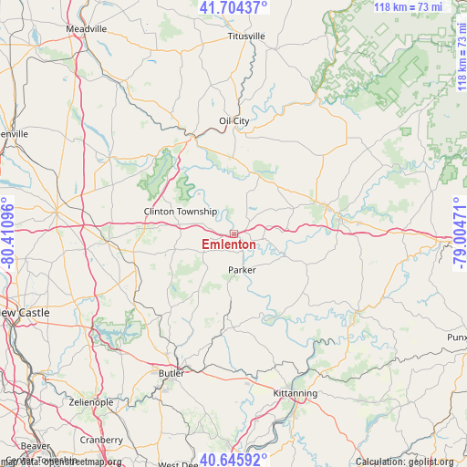
Emlenton GPS coordinates[2]
41° 10' 38.208" North, 79° 42' 28.188" West
| Map corner | latitude | longitude |
|---|---|---|
| Upper-left | 41.70437°, | -80.41096° |
| Center: | 41.17728°, | -79.70783° |
| Lower-right: | 40.64592°, | -79.00471° |
| Map W x H: | 117.7×117.7 km | = 73.1×73.1mi |
| max Lat: | 71.29058° ⇑32.4% North |
| Emlenton: | 41.17728° |
| min Lat: | ⇓67.6% South 19.06759° |
| min Long | Emlenton | max Long |
| -171.73463° | -79.70783° | -66.98998° |
| W 74.4%⇐ | ⇒25.6% E |
Elevation
Elevation of Emlenton is 284 m = 932 ft, and this is 10.8 m = 35 ft below average elevation for this country.
| Max E: |
3189 m = 10463 ft | 30.3% |
| Avg. | 294.8 m = 967 ft | |
| Emlenton | 284 m = 932 ft | |
Min E: |
-60 m = -197 ft | 69.7% |
See also: United States elevation on elevation.city.
Geographical zone
Emlenton is located in North temperate zone (between Tropic of Cancer and the Arctic Circle). Distance of this Northern Tropic circle is 1972.6 km =1225.7 mi to South.| Distance of | km | miles | from Emlenton |
|---|---|---|---|
| North Pole | 5428.6 | 3373.2 | to North |
| Arctic Circle | 2822.7 | 1753.9 | to North |
| Tropic Cancer | 1972.6 | 1225.7 | to South |
| Equator | 4578.5 | 2844.9 | to South |


Nearby cities:
15 places around Emlenton: (largest is in red/bold)
• Bruin
13.7 km =8.5 mi,  186°
186°
• Chicora
25.6 km =15.9 mi, 186°
• Clarion
27.3 km =17 mi,  81°
81°
• East Brady
22.7 km =14.1 mi,  159°
159°
• Franklin
26.6 km =16.5 mi,  337°
337°
• Harrisville
25.6 km =15.9 mi,  259°
259°
• Knox
15.6 km =9.7 mi,  65°
65°
• Marianne
24.6 km =15.3 mi, 71°
• Oil City
28.5 km =17.7 mi,  0°
0°
• Parker
9.3 km =5.8 mi,  166°
166°
• Polk
28.1 km =17.5 mi,  318°
318°
• Rimersburg
22.9 km =14.2 mi,  131°
131°
• Seneca
22.4 km =13.9 mi, 0°
• Sligo
19.7 km =12.2 mi,  112°
112°
• Woodland Heights
25.9 km =16.1 mi,  359°
359°
Sources, notices
• [Note1] Compared only with cities in United States existing in our database
• [Src1] Map data: © OpenStreetMap contributors (CC-BY-SA)
• [Src2] Other city data from geonames.org with taken over terms of usage.
• [Src3] Geographical zone / Annual Mean Temperature by Robert A. Rohde @ Wikipedia
