Hawk Run geodata
Hawk Run (Pennsylvania) is a populated place; located in United States in America/New_York (GMT-4) time zone. With population of 534 people, there are 20461 cities with bigger population in this country. Compared to other cities in United States, 65% of cities are located further ↓South; 77.4% of cities are located further ←West and 86.4% of cities have lower elevation than Hawk Run. Note1
Administrative division(s):
- Level 1: Pennsylvania
- Level 2: Clearfield County
- Level 3: Township of Morris


Hawk Run GPS coordinates[2]
40° 55' 26.22" North, 78° 12' 22.032" West
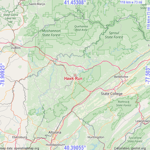
| Map corner | latitude | longitude |
|---|---|---|
| Upper-left | 41.45308°, | -78.90925° |
| Center: | 40.92395°, | -78.20612° |
| Lower-right: | 40.39055°, | -77.503° |
| Map W x H: | 118.1×118.1 km | = 73.4×73.4mi |
| max Lat: | 71.29058° ⇑35% North |
| Hawk Run: | 40.92395° |
| min Lat: | ⇓65% South 19.06759° |
| min Long | Hawk Run | max Long |
| -171.73463° | -78.20612° | -66.98998° |
| W 77.4%⇐ | ⇒22.6% E |
Elevation
Elevation of Hawk Run is 451 m = 1480 ft, and this is 156.2 m = 512 ft above average elevation for this country.
| Max E: |
3189 m = 10463 ft | 13.6% |
| Hawk Run | 451 m 1480 ft | |
| Avg. | 294.8 m = 967 ft | |
Min E: |
-60 m = -197 ft | 86.4% |
See also: United States elevation on elevation.city.
Geographical zone
Hawk Run is located in North temperate zone (between Tropic of Cancer and the Arctic Circle). Distance of this Northern Tropic circle is 1944.4 km =1208.2 mi to South.| Distance of | km | miles | from Hawk Run |
|---|---|---|---|
| North Pole | 5456.7 | 3390.6 | to North |
| Arctic Circle | 2850.9 | 1771.5 | to North |
| Tropic Cancer | 1944.4 | 1208.2 | to South |
| Equator | 4550.3 | 2827.4 | to South |


Nearby cities:
15 places around Hawk Run: (largest is in red/bold)
• Chester Hill
4.2 km =2.6 mi,  206°
206°
• Clearfield
22.7 km =14.1 mi,  300°
300°
• Grassflat
11.6 km =7.2 mi,  41°
41°
• Houtzdale
16.4 km =10.2 mi,  227°
227°
• Hyde
23.2 km =14.4 mi,  292°
292°
• Morrisdale
3.2 km =2 mi,  329°
329°
• North Philipsburg
1.8 km =1.1 mi,  184°
184°
• Osceola Mills
9.8 km =6.1 mi, 213°
• Philipsburg
3.3 km =2.1 mi,  201°
201°
• Plymptonville
24.2 km =15 mi, 304°
• Port Matilda
18.8 km =11.7 mi,  137°
137°
• Shiloh
14.9 km =9.3 mi, 331°
• Stormstown
21.6 km =13.4 mi,  132°
132°
• Troy
1.3 km =0.8 mi,  221°
221°
• West Decatur
6.1 km =3.8 mi,  274°
274°
Sources, notices
• [Note1] Compared only with cities in United States existing in our database
• [Src1] Map data: © OpenStreetMap contributors (CC-BY-SA)
• [Src2] Other city data from geonames.org with taken over terms of usage.
• [Src3] Geographical zone / Annual Mean Temperature by Robert A. Rohde @ Wikipedia
