Rochester geodata
Rochester (Pennsylvania) is a populated place; located in United States in America/New_York (GMT-4) time zone. With population of 3,569 people, there are 8773 cities with bigger population in this country. Compared to other cities in United States, 61.6% of cities are located further ↓South; 71.8% of cities are located further ←West and 60.3% of cities have lower elevation than Rochester. Note1


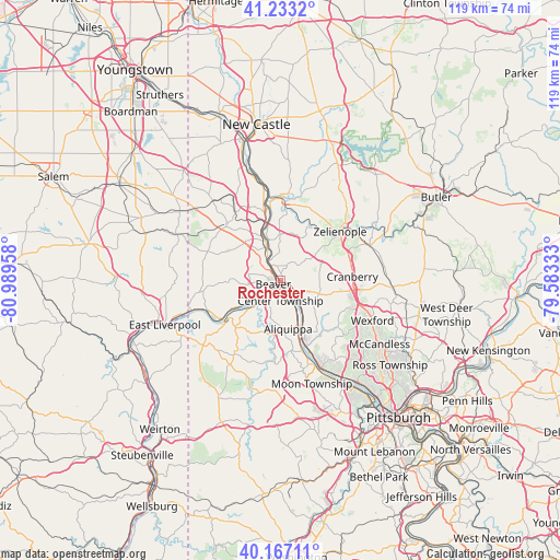
Rochester GPS coordinates[2]
40° 42' 8.244" North, 80° 17' 11.22" West
| Map corner | latitude | longitude |
|---|---|---|
| Upper-left | 41.2332°, | -80.98958° |
| Center: | 40.70229°, | -80.28645° |
| Lower-right: | 40.16711°, | -79.58333° |
| Map W x H: | 118.5×118.5 km | = 73.6×73.6mi |
| max Lat: | 71.29058° ⇑38.4% North |
| Rochester: | 40.70229° |
| min Lat: | ⇓61.6% South 19.06759° |
| min Long | Rochester | max Long |
| -171.73463° | -80.28645° | -66.98998° |
| W 71.8%⇐ | ⇒28.2% E |
Elevation
Elevation of Rochester is 241 m = 791 ft, and this is 53.8 m = 177 ft below average elevation for this country.
| Max E: |
3189 m = 10463 ft | 39.7% |
| Avg. | 294.8 m = 967 ft | |
| Rochester | 241 m = 791 ft | |
Min E: |
-60 m = -197 ft | 60.3% |
See also: United States elevation on elevation.city.
Geographical zone
Rochester is located in North temperate zone (between Tropic of Cancer and the Arctic Circle). Distance of this Northern Tropic circle is 1919.8 km =1192.9 mi to South.| Distance of | km | miles | from Rochester |
|---|---|---|---|
| North Pole | 5481.4 | 3406 | to North |
| Arctic Circle | 2875.5 | 1786.8 | to North |
| Tropic Cancer | 1919.8 | 1192.9 | to South |
| Equator | 4525.7 | 2812.1 | to South |


Nearby cities:
15 places around Rochester: (largest is in red/bold)
• Aliquippa
8.3 km =5.2 mi,  151°
151°
• Baden
8.9 km =5.5 mi, 146°
• Beaver
1.7 km =1.1 mi,  243°
243°
• Beaver Falls
6.2 km =3.9 mi,  333°
333°
• Bridgewater
1.3 km =0.8 mi,  285°
285°
• Conway
6.2 km =3.9 mi,  139°
139°
• East Rochester
1.6 km =1 mi,  99°
99°
• Economy
12.5 km =7.8 mi,  155°
155°
• Fernway
13.1 km =8.1 mi,  93°
93°
• Freedom
3.5 km =2.2 mi,  122°
122°
• Industry
12.7 km =7.9 mi, 239°
• Monaca
2.1 km =1.3 mi, 142°
• New Brighton
3.7 km =2.3 mi, 327°
• Patterson Heights
5.5 km =3.4 mi,  318°
318°
• West Mayfield
9.7 km =6 mi, 333°
Sources, notices
• [Note1] Compared only with cities in United States existing in our database
• [Src1] Map data: © OpenStreetMap contributors (CC-BY-SA)
• [Src2] Other city data from geonames.org with taken over terms of usage.
• [Src3] Geographical zone / Annual Mean Temperature by Robert A. Rohde @ Wikipedia
