Ulysses geodata
Ulysses (Pennsylvania) is a populated place; located in United States in America/New_York (GMT-4) time zone. With population of 603 people, there are 19664 cities with bigger population in this country. Compared to other cities in United States, 74.8% of cities are located further ↓South; 78.3% of cities are located further ←West and 90.2% of cities have lower elevation than Ulysses. Note1
Administrative division(s):
- Level 1: Pennsylvania
- Level 2: Potter County
- Level 3: Borough of Ulysses


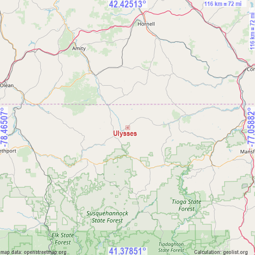
Ulysses GPS coordinates[2]
41° 54' 14.256" North, 77° 45' 42.984" West
| Map corner | latitude | longitude |
|---|---|---|
| Upper-left | 42.42513°, | -78.46507° |
| Center: | 41.90396°, | -77.76194° |
| Lower-right: | 41.37851°, | -77.05882° |
| Map W x H: | 116.4×116.4 km | = 72.3×72.3mi |
| max Lat: | 71.29058° ⇑25.2% North |
| Ulysses: | 41.90396° |
| min Lat: | ⇓74.8% South 19.06759° |
| min Long | Ulysses | max Long |
| -171.73463° | -77.76194° | -66.98998° |
| W 78.3%⇐ | ⇒21.7% E |
Elevation
Elevation of Ulysses is 642 m = 2106 ft, and this is 347.2 m = 1139 ft above average elevation for this country.
| Max E: |
3189 m = 10463 ft | 9.8% |
| Ulysses | 642 m 2106 ft | |
| Avg. | 294.8 m = 967 ft | |
Min E: |
-60 m = -197 ft | 90.2% |
See also: United States elevation on elevation.city.
Geographical zone
Ulysses is located in North temperate zone (between Tropic of Cancer and the Arctic Circle). Distance of this Northern Tropic circle is 2053.4 km =1275.9 mi to South.| Distance of | km | miles | from Ulysses |
|---|---|---|---|
| North Pole | 5347.8 | 3323 | to North |
| Arctic Circle | 2741.9 | 1703.7 | to North |
| Tropic Cancer | 2053.4 | 1275.9 | to South |
| Equator | 4659.3 | 2895.2 | to South |


Nearby cities:
15 places around Ulysses: (largest is in red/bold)
• Alfred
39 km =24.2 mi,  356°
356°
• Alma
27.3 km =17 mi,  296°
296°
• Andover
28.2 km =17.5 mi,  354°
354°
• Austin
40.8 km =25.4 mi,  222°
222°
• Bolivar
38.1 km =23.7 mi, 298°
• Coudersport
25.8 km =16 mi,  236°
236°
• Elkland
38.4 km =23.9 mi,  76°
76°
• Galeton
21.4 km =13.3 mi,  152°
152°
• Knoxville
27.4 km =17 mi, 77°
• Roulette
35.3 km =21.9 mi,  247°
247°
• Scio
34.7 km =21.6 mi,  328°
328°
• Shinglehouse
36.1 km =22.4 mi,  280°
280°
• Stannards
24.2 km =15 mi, 326°
• Wellsville
28.7 km =17.8 mi, 327°
• Westfield
18.5 km =11.5 mi, 84°
Sources, notices
• [Note1] Compared only with cities in United States existing in our database
• [Src1] Map data: © OpenStreetMap contributors (CC-BY-SA)
• [Src2] Other city data from geonames.org with taken over terms of usage.
• [Src3] Geographical zone / Annual Mean Temperature by Robert A. Rohde @ Wikipedia
