Foothill Farms geodata
Foothill Farms (California) is a populated place; located in United States in America/Los_Angeles (GMT-7) time zone. With population of 33,121 people, there are 1500 cities with bigger population in this country. Compared to other cities in United States, 57.6% of cities are located further ↑North; 94.2% of cities are located further →East and 81.3% of cities have higher elevation than Foothill Farms. Note1


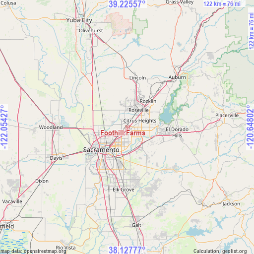
Foothill Farms GPS coordinates[2]
38° 40' 43.572" North, 121° 21' 4.104" West
| Map corner | latitude | longitude |
|---|---|---|
| Upper-left | 39.22557°, | -122.05427° |
| Center: | 38.67877°, | -121.35114° |
| Lower-right: | 38.12777°, | -120.64802° |
| Map W x H: | 122.1×122.1 km | = 75.9×75.9mi |
| max Lat: | 71.29058° ⇑57.6% North |
| Foothill Farms: | 38.67877° |
| min Lat: | ⇓42.4% South 19.06759° |
| min Long | Foothill Farms | max Long |
| -171.73463° | -121.35114° | -66.98998° |
| W 5.8%⇐ | ⇒94.2% E |
Elevation
Elevation of Foothill Farms is 41 m = 135 ft, and this is 253.8 m = 833 ft below average elevation for this country.
| Max E: |
3189 m = 10463 ft | 81.3% |
| Avg. | 294.8 m = 967 ft | |
| Foothill Farms | 41 m = 135 ft | |
Min E: |
-60 m = -197 ft | 18.7% |
See also: United States elevation on elevation.city.
Geographical zone
Foothill Farms is located in North temperate zone (between Tropic of Cancer and the Arctic Circle). Distance of this Northern Tropic circle is 1694.8 km =1053.1 mi to South.| Distance of | km | miles | from Foothill Farms |
|---|---|---|---|
| North Pole | 5706.4 | 3545.8 | to North |
| Arctic Circle | 3100.5 | 1926.6 | to North |
| Tropic Cancer | 1694.8 | 1053.1 | to South |
| Equator | 4300.7 | 2672.3 | to South |


Nearby cities:
15 places around Foothill Farms: (largest is in red/bold)
• Antelope
3.8 km =2.4 mi,  29°
29°
• Arden-Arcade
8.8 km =5.5 mi,  195°
195°
• Carmichael
7.1 km =4.4 mi,  163°
163°
• Citrus Heights
6.9 km =4.3 mi,  62°
62°
• Elverta
10.4 km =6.5 mi,  291°
291°
• Fair Oaks
7.8 km =4.8 mi,  118°
118°
• Gold River
10.8 km =6.7 mi, 122°
• La Riviera
12.5 km =7.8 mi,  182°
182°
• McClellan Park
4.8 km =3 mi,  247°
247°
• North Highlands
2 km =1.2 mi, 293°
• Orangevale
10.9 km =6.8 mi,  90°
90°
• Rancho Cordova
10.8 km =6.7 mi, 157°
• Rio Linda
8.6 km =5.3 mi,  279°
279°
• Rosemont
14.2 km =8.8 mi, 184°
• Roseville
9.8 km =6.1 mi, 33°
Sources, notices
• [Note1] Compared only with cities in United States existing in our database
• [Src1] Map data: © OpenStreetMap contributors (CC-BY-SA)
• [Src2] Other city data from geonames.org with taken over terms of usage.
• [Src3] Geographical zone / Annual Mean Temperature by Robert A. Rohde @ Wikipedia
