Plumas Lake geodata
Plumas Lake (California) is a populated place; located in United States in America/Los_Angeles (GMT-7) time zone. With population of 5,853 people, there are 6507 cities with bigger population in this country. Compared to other cities in United States, 54.6% of cities are located further ↑North; 94.4% of cities are located further →East and 91.5% of cities have higher elevation than Plumas Lake. Note1


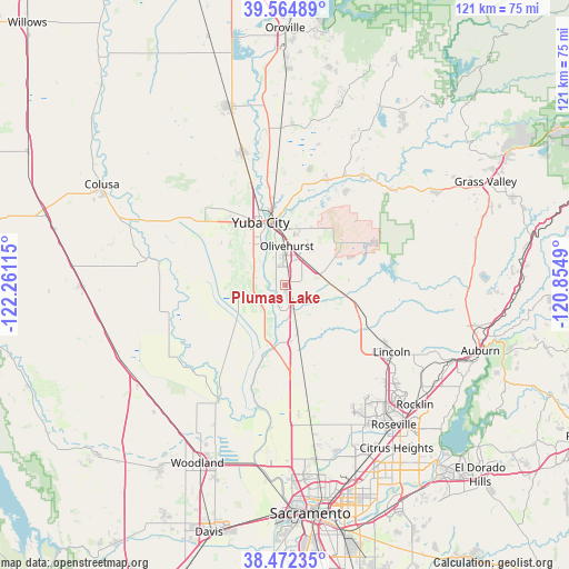
Plumas Lake GPS coordinates[2]
39° 1' 14.628" North, 121° 33' 28.872" West
| Map corner | latitude | longitude |
|---|---|---|
| Upper-left | 39.56489°, | -122.26115° |
| Center: | 39.02073°, | -121.55802° |
| Lower-right: | 38.47235°, | -120.8549° |
| Map W x H: | 121.5×121.5 km | = 75.5×75.5mi |
| max Lat: | 71.29058° ⇑54.6% North |
| Plumas Lake: | 39.02073° |
| min Lat: | ⇓45.4% South 19.06759° |
| min Long | Plumas Lake | max Long |
| -171.73463° | -121.55802° | -66.98998° |
| W 5.6%⇐ | ⇒94.4% E |
Elevation
Elevation of Plumas Lake is 13 m = 43 ft, and this is 281.8 m = 925 ft below average elevation for this country.
| Max E: |
3189 m = 10463 ft | 91.5% |
| Avg. | 294.8 m = 967 ft | |
| Plumas Lake | 13 m = 43 ft | |
Min E: |
-60 m = -197 ft | 8.5% |
See also: United States elevation on elevation.city.
Geographical zone
Plumas Lake is located in North temperate zone (between Tropic of Cancer and the Arctic Circle). Distance of this Northern Tropic circle is 1732.8 km =1076.7 mi to South.| Distance of | km | miles | from Plumas Lake |
|---|---|---|---|
| North Pole | 5668.4 | 3522.2 | to North |
| Arctic Circle | 3062.5 | 1902.9 | to North |
| Tropic Cancer | 1732.8 | 1076.7 | to South |
| Equator | 4338.7 | 2695.9 | to South |


Nearby cities:
15 places around Plumas Lake: (largest is in red/bold)
• Beale Air Force Base
20.1 km =12.5 mi,  60°
60°
• Elverta
35.1 km =21.8 mi,  166°
166°
• Knights Landing
28.2 km =17.5 mi,  209°
209°
• Lincoln
27 km =16.8 mi,  122°
122°
• Linda
11.9 km =7.4 mi,  3°
3°
• Live Oak
29.7 km =18.5 mi,  342°
342°
• Loma Rica
34.6 km =21.5 mi,  20°
20°
• Marysville
14.2 km =8.8 mi,  348°
348°
• Olivehurst
8.3 km =5.2 mi, 3°
• Sheridan
16.4 km =10.2 mi,  106°
106°
• South Yuba City
12.8 km =8 mi,  326°
326°
• Sutter
22.8 km =14.2 mi,  312°
312°
• Tierra Buena
17.1 km =10.6 mi, 326°
• Wheatland
11.7 km =7.3 mi,  95°
95°
• Yuba City
14.2 km =8.8 mi, 339°
Sources, notices
• [Note1] Compared only with cities in United States existing in our database
• [Src1] Map data: © OpenStreetMap contributors (CC-BY-SA)
• [Src2] Other city data from geonames.org with taken over terms of usage.
• [Src3] Geographical zone / Annual Mean Temperature by Robert A. Rohde @ Wikipedia
