Beale Air Force Base geodata
Beale Air Force Base (California) is a populated place; located in United States in America/Los_Angeles (GMT-7) time zone. With population of 1,319 people, there are 14497 cities with bigger population in this country. Compared to other cities in United States, 53.8% of cities are located further ↑North; 94.2% of cities are located further →East and 77.7% of cities have higher elevation than Beale Air Force Base. Note1
Current local time in Beale Air Force Base:
12:08 AM, WednesdayDifference from your time zone: hours


Beale Air Force Base GPS coordinates[2]
39° 6' 33.012" North, 121° 21' 15.984" West
| Map corner | latitude | longitude |
|---|---|---|
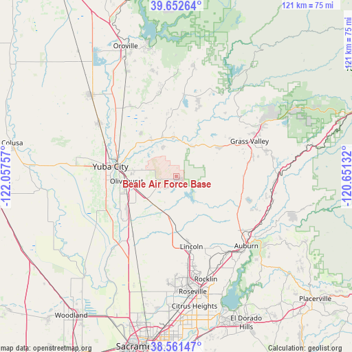
| Upper-left | 39.65264°, | -122.05757° |
| Center: | 39.10917°, | -121.35444° |
| Lower-right: | 38.56147°, | -120.65132° |
| Map W x H: | 121.3×121.3 km | = 75.4×75.4mi |
| max Lat: | 71.29058° ⇑53.8% North |
| Beale Air Force Base: | 39.10917° |
| min Lat: | ⇓46.2% South 19.06759° |
| min Long | Beale Air Force | max Long |
| -171.73463° | -121.35444° | -66.98998° |
| W 5.8%⇐ | ⇒94.2% E |
Elevation
Elevation of Beale Air Force Base is 57 m = 187 ft, and this is 237.8 m = 780 ft below average elevation for this country.
| Max E: |
3189 m = 10463 ft | 77.7% |
| Avg. | 294.8 m = 967 ft | |
| Beale Air Force Base | 57 m = 187 ft | |
Min E: |
-60 m = -197 ft | 22.3% |
See also: United States elevation on elevation.city.
Geographical zone
Beale Air Force Base is located in North temperate zone (between Tropic of Cancer and the Arctic Circle). Distance of this Northern Tropic circle is 1742.6 km =1082.8 mi to South.| Distance of | km | miles | from Beale Air Force Base |
|---|---|---|---|
| North Pole | 5658.5 | 3516 | to North |
| Arctic Circle | 3052.6 | 1896.8 | to North |
| Tropic Cancer | 1742.6 | 1082.8 | to South |
| Equator | 4348.5 | 2702 | to South |


Nearby cities:
15 places around Beale Air Force Base: (largest is in red/bold)
• Alta Sierra
26.2 km =16.3 mi,  82°
82°
• Lake Wildwood
19.1 km =11.9 mi,  43°
43°
• Lake of the Pines
26.8 km =16.7 mi,  106°
106°
• Lincoln
24.8 km =15.4 mi,  167°
167°
• Linda
17.1 km =10.6 mi,  276°
276°
• Loma Rica
23.2 km =14.4 mi,  346°
346°
• Marysville
20.8 km =12.9 mi, 281°
• Olivehurst
17.1 km =10.6 mi,  264°
264°
• Penn Valley
17.1 km =10.6 mi,  55°
55°
• Plumas Lake
20.1 km =12.5 mi,  240°
240°
• Rough and Ready
23.1 km =14.4 mi,  54°
54°
• Sheridan
14.5 km =9 mi,  187°
187°
• South Yuba City
24.6 km =15.3 mi,  271°
271°
• Wheatland
12.5 km =7.8 mi,  208°
208°
• Yuba City
22.9 km =14.2 mi, 278°
Sources, notices
• [Note1] Compared only with cities in United States existing in our database
• [Src1] Map data: © OpenStreetMap contributors (CC-BY-SA)
• [Src2] Other city data from geonames.org with taken over terms of usage.
• [Src3] Geographical zone / Annual Mean Temperature by Robert A. Rohde @ Wikipedia
