Sunset Beach geodata
Sunset Beach (California) is a section of populated place; located in United States in America/Los_Angeles (GMT-7) time zone. With population of 971 people, there are 16484 cities with bigger population in this country. Compared to other cities in United States, 82% of cities are located further ↑North; 91% of cities are located further →East and 98.8% of cities have higher elevation than Sunset Beach. Note1


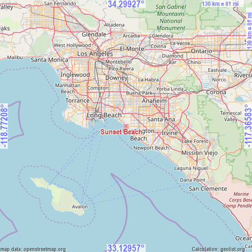
Sunset Beach GPS coordinates[2]
33° 42' 59.076" North, 118° 4' 8.22" West
| Map corner | latitude | longitude |
|---|---|---|
| Upper-left | 34.29927°, | -118.77208° |
| Center: | 33.71641°, | -118.06895° |
| Lower-right: | 33.12957°, | -117.36583° |
| Map W x H: | 130.1×130.1 km | = 80.8×80.8mi |
| max Lat: | 71.29058° ⇑82% North |
| Sunset Beach: | 33.71641° |
| min Lat: | ⇓18% South 19.06759° |
| min Long | Sunset Beach | max Long |
| -171.73463° | -118.06895° | -66.98998° |
| W 9%⇐ | ⇒91% E |
Elevation
Elevation of Sunset Beach is 4 m = 13 ft, and this is 290.8 m = 954 ft below average elevation for this country.
| Max E: |
3189 m = 10463 ft | 98.8% |
| Avg. | 294.8 m = 967 ft | |
| Sunset Beach | 4 m = 13 ft | |
Min E: |
-60 m = -197 ft | 1.2% |
See also: United States elevation on elevation.city.
Geographical zone
Sunset Beach is located in North temperate zone (between Tropic of Cancer and the Arctic Circle). Distance of this Northern Tropic circle is 1143 km =710.2 mi to South.| Distance of | km | miles | from Sunset Beach |
|---|---|---|---|
| North Pole | 6258.1 | 3888.6 | to North |
| Arctic Circle | 3652.3 | 2269.4 | to North |
| Tropic Cancer | 1143 | 710.2 | to South |
| Equator | 3748.9 | 2329.5 | to South |


Nearby cities:
15 places around Sunset Beach: (largest is in red/bold)
• Cerritos
15.8 km =9.8 mi,  1°
1°
• Cypress
11.6 km =7.2 mi,  14°
14°
• Fountain Valley
10.7 km =6.6 mi,  94°
94°
• Garden Grove
13.4 km =8.3 mi,  61°
61°
• Hawaiian Gardens
12.8 km =8 mi,  358°
358°
• Huntington Beach
9 km =5.6 mi,  134°
134°
• La Palma
14.6 km =9.1 mi, 8°
• Long Beach
12.5 km =7.8 mi,  296°
296°
• Los Alamitos
9.6 km =6 mi, 358°
• Midway City
8 km =5 mi,  66°
66°
• Rossmoor
7.8 km =4.8 mi,  349°
349°
• Seal Beach
4.3 km =2.7 mi,  309°
309°
• Signal Hill
13.4 km =8.3 mi,  316°
316°
• Stanton
11.9 km =7.4 mi,  36°
36°
• Westminster
7.5 km =4.7 mi,  50°
50°
Sources, notices
• [Note1] Compared only with cities in United States existing in our database
• [Src1] Map data: © OpenStreetMap contributors (CC-BY-SA)
• [Src2] Other city data from geonames.org with taken over terms of usage.
• [Src3] Geographical zone / Annual Mean Temperature by Robert A. Rohde @ Wikipedia
