Kooskia geodata
Kooskia (Idaho) is a populated place; located in United States in America/Los_Angeles (GMT-7) time zone. With population of 606 people, there are 19629 cities with bigger population in this country. Compared to other cities in United States, 95.3% of cities are located further ↓South; 89.1% of cities are located further →East and 82.7% of cities have lower elevation than Kooskia. Note1


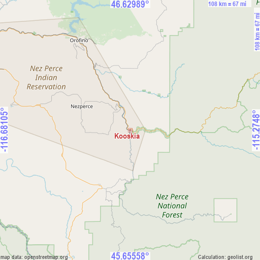
Kooskia GPS coordinates[2]
46° 8' 41.604" North, 115° 58' 40.512" West
| Map corner | latitude | longitude |
|---|---|---|
| Upper-left | 46.62989°, | -116.68105° |
| Center: | 46.14489°, | -115.97792° |
| Lower-right: | 45.65558°, | -115.2748° |
| Map W x H: | 108.3×108.3 km | = 67.3×67.3mi |
| max Lat: | 71.29058° ⇑4.7% North |
| Kooskia: | 46.14489° |
| min Lat: | ⇓95.3% South 19.06759° |
| min Long | Kooskia | max Long |
| -171.73463° | -115.97792° | -66.98998° |
| W 10.9%⇐ | ⇒89.1% E |
Elevation
Elevation of Kooskia is 386 m = 1266 ft, and this is 91.2 m = 299 ft above average elevation for this country.
| Max E: |
3189 m = 10463 ft | 17.3% |
| Kooskia | 386 m 1266 ft | |
| Avg. | 294.8 m = 967 ft | |
Min E: |
-60 m = -197 ft | 82.7% |
See also: United States elevation on elevation.city.
Geographical zone
Kooskia is located in North temperate zone (between Tropic of Cancer and the Arctic Circle). Distance of this North polar circle is 2270.3 km =1410.7 mi to North.| Distance of | km | miles | from Kooskia |
|---|---|---|---|
| North Pole | 4876.2 | 3029.9 | to North |
| Arctic Circle | 2270.3 | 1410.7 | to North |
| Tropic Cancer | 2524.9 | 1568.9 | to South |
| Equator | 5130.8 | 3188.1 | to South |


Nearby cities:
15 places around Kooskia: (largest is in red/bold)
• Asotin
85.1 km =52.9 mi,  284°
284°
• Clarkston
87.4 km =54.3 mi,  290°
290°
• Clarkston Heights-Vineland
89.1 km =55.4 mi, 287°
• Cottonwood
30.6 km =19 mi,  249°
249°
• Deary
85.2 km =52.9 mi,  328°
328°
• Genesee
85.6 km =53.2 mi,  301°
301°
• Grangeville
26.7 km =16.6 mi,  204°
204°
• Juliaetta
73.8 km =45.9 mi,  310°
310°
• Kamiah
10 km =6.2 mi,  336°
336°
• Lapwai
69.8 km =43.4 mi, 294°
• Lewiston
85.4 km =53.1 mi, 290°
• Lewiston Orchards
81 km =50.3 mi, 288°
• Nezperce
22.6 km =14 mi, 296°
• Orofino
42.9 km =26.7 mi, 330°
• West Clarkston-Highland
88.3 km =54.9 mi, 288°
Sources, notices
• [Note1] Compared only with cities in United States existing in our database
• [Src1] Map data: © OpenStreetMap contributors (CC-BY-SA)
• [Src2] Other city data from geonames.org with taken over terms of usage.
• [Src3] Geographical zone / Annual Mean Temperature by Robert A. Rohde @ Wikipedia
