Albany geodata
Albany (Oregon) is a seat of a second-order administrative division; located in United States in America/Los_Angeles (GMT-7) time zone. With population of 52,175 people, there are 903 cities with bigger population in this country. Compared to other cities in United States, 91% of cities are located further ↓South; 98% of cities are located further →East and 76.2% of cities have higher elevation than Albany. Note1


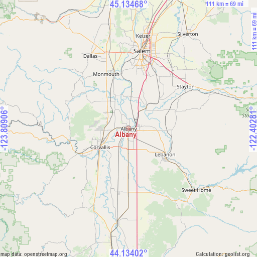
Albany GPS coordinates[2]
44° 38' 11.436" North, 123° 6' 21.348" West
| Map corner | latitude | longitude |
|---|---|---|
| Upper-left | 45.13468°, | -123.80906° |
| Center: | 44.63651°, | -123.10593° |
| Lower-right: | 44.13402°, | -122.40281° |
| Map W x H: | 111.3×111.3 km | = 69.2×69.2mi |
| max Lat: | 71.29058° ⇑9% North |
| Albany: | 44.63651° |
| min Lat: | ⇓91% South 19.06759° |
| min Long | Albany | max Long |
| -171.73463° | -123.10593° | -66.98998° |
| W 2%⇐ | ⇒98% E |
Elevation
Elevation of Albany is 65 m = 213 ft, and this is 229.8 m = 754 ft below average elevation for this country.
| Max E: |
3189 m = 10463 ft | 76.2% |
| Avg. | 294.8 m = 967 ft | |
| Albany | 65 m = 213 ft | |
Min E: |
-60 m = -197 ft | 23.8% |
See also: Albany elevation on elevation.city.
Geographical zone
Albany is located in North temperate zone (between Tropic of Cancer and the Arctic Circle). Distance of this Northern Tropic circle is 2357.2 km =1464.7 mi to South.| Distance of | km | miles | from Albany |
|---|---|---|---|
| North Pole | 5043.9 | 3134.1 | to North |
| Arctic Circle | 2438.1 | 1515 | to North |
| Tropic Cancer | 2357.2 | 1464.7 | to South |
| Equator | 4963.1 | 3083.9 | to South |


Nearby cities:
15 places around Albany: (largest is in red/bold)
• Adair Village
9.6 km =6 mi,  293°
293°
• Aumsville
29.3 km =18.2 mi,  39°
39°
• Brownsville
28.7 km =17.8 mi,  160°
160°
• Corvallis
14.7 km =9.1 mi,  237°
237°
• Halsey
28.1 km =17.5 mi,  180°
180°
• Independence
24.7 km =15.3 mi,  345°
345°
• Jefferson
11.9 km =7.4 mi, 39°
• Lebanon
19.3 km =12 mi,  125°
125°
• Millersburg
6.1 km =3.8 mi, 35°
• Monmouth
25.6 km =15.9 mi,  336°
336°
• Philomath
23.3 km =14.5 mi, 242°
• Scio
21.7 km =13.5 mi,  69°
69°
• South Lebanon
21.6 km =13.4 mi, 132°
• Tangent
10.6 km =6.6 mi, 180°
• Turner
26 km =16.2 mi,  27°
27°
Sources, notices
• [Note1] Compared only with cities in United States existing in our database
• [Src1] Map data: © OpenStreetMap contributors (CC-BY-SA)
• [Src2] Other city data from geonames.org with taken over terms of usage.
• [Src3] Geographical zone / Annual Mean Temperature by Robert A. Rohde @ Wikipedia
