Kenton geodata
Kenton (Oregon) is a section of populated place; located in United States in America/Los_Angeles (GMT-7) time zone. With population of 7,000 people, there are 5815 cities with bigger population in this country. Compared to other cities in United States, 94.2% of cities are located further ↓South; 97.2% of cities are located further →East and 84.4% of cities have higher elevation than Kenton. Note1


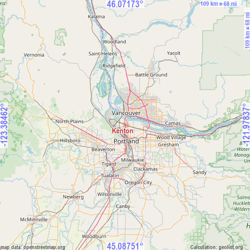
Kenton GPS coordinates[2]
45° 34' 54.408" North, 122° 40' 53.364" West
| Map corner | latitude | longitude |
|---|---|---|
| Upper-left | 46.07173°, | -123.38462° |
| Center: | 45.58178°, | -122.68149° |
| Lower-right: | 45.08751°, | -121.97837° |
| Map W x H: | 109.4×109.4 km | = 68×68mi |
| max Lat: | 71.29058° ⇑5.8% North |
| Kenton: | 45.58178° |
| min Lat: | ⇓94.2% South 19.06759° |
| min Long | Kenton | max Long |
| -171.73463° | -122.68149° | -66.98998° |
| W 2.8%⇐ | ⇒97.2% E |
Elevation
Elevation of Kenton is 30 m = 98 ft, and this is 264.8 m = 869 ft below average elevation for this country.
| Max E: |
3189 m = 10463 ft | 84.4% |
| Avg. | 294.8 m = 967 ft | |
| Kenton | 30 m = 98 ft | |
Min E: |
-60 m = -197 ft | 15.6% |
See also: United States elevation on elevation.city.
Geographical zone
Kenton is located in North temperate zone (between Tropic of Cancer and the Arctic Circle). Distance of this North polar circle is 2333 km =1449.7 mi to North.| Distance of | km | miles | from Kenton |
|---|---|---|---|
| North Pole | 4938.8 | 3068.8 | to North |
| Arctic Circle | 2333 | 1449.7 | to North |
| Tropic Cancer | 2462.3 | 1530 | to South |
| Equator | 5068.2 | 3149.2 | to South |


Nearby cities:
15 places around Kenton: (largest is in red/bold)
• Bridgeton
2.4 km =1.5 mi,  23°
23°
• Cedar Hills
12.5 km =7.8 mi,  226°
226°
• Cedar Mill
11.9 km =7.4 mi,  237°
237°
• Hazel Dell
10.1 km =6.3 mi,  8°
8°
• Lake Shore
12.1 km =7.5 mi,  356°
356°
• Maywood Park
10 km =6.2 mi,  108°
108°
• Minnehaha
9 km =5.6 mi, 16°
• North Portland
3.6 km =2.2 mi,  331°
331°
• Portland
6.5 km =4 mi,  176°
176°
• Raleigh Hills
12.9 km =8 mi,  209°
209°
• Vancouver
6.5 km =4 mi, 13°
• Walnut Grove
11.5 km =7.1 mi,  33°
33°
• West Haven
9.9 km =6.2 mi,  223°
223°
• West Haven-Sylvan
9.9 km =6.2 mi, 222°
• West Slope
11.3 km =7 mi, 215°
Sources, notices
• [Note1] Compared only with cities in United States existing in our database
• [Src1] Map data: © OpenStreetMap contributors (CC-BY-SA)
• [Src2] Other city data from geonames.org with taken over terms of usage.
• [Src3] Geographical zone / Annual Mean Temperature by Robert A. Rohde @ Wikipedia
