Stayton geodata
Stayton (Oregon) is a populated place; located in United States in America/Los_Angeles (GMT-7) time zone. With population of 7,969 people, there are 5298 cities with bigger population in this country. Compared to other cities in United States, 91.6% of cities are located further ↓South; 97.4% of cities are located further →East and 62.6% of cities have higher elevation than Stayton. Note1


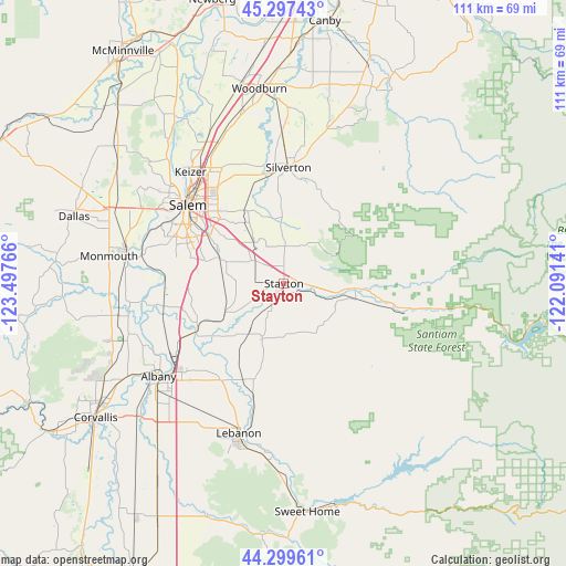
Stayton GPS coordinates[2]
44° 48' 2.448" North, 122° 47' 40.308" West
| Map corner | latitude | longitude |
|---|---|---|
| Upper-left | 45.29743°, | -123.49766° |
| Center: | 44.80068°, | -122.79453° |
| Lower-right: | 44.29961°, | -122.09141° |
| Map W x H: | 110.9×110.9 km | = 68.9×68.9mi |
| max Lat: | 71.29058° ⇑8.4% North |
| Stayton: | 44.80068° |
| min Lat: | ⇓91.6% South 19.06759° |
| min Long | Stayton | max Long |
| -171.73463° | -122.79453° | -66.98998° |
| W 2.6%⇐ | ⇒97.4% E |
Elevation
Elevation of Stayton is 141 m = 463 ft, and this is 153.8 m = 505 ft below average elevation for this country.
| Max E: |
3189 m = 10463 ft | 62.6% |
| Avg. | 294.8 m = 967 ft | |
| Stayton | 141 m = 463 ft | |
Min E: |
-60 m = -197 ft | 37.4% |
See also: United States elevation on elevation.city.
Geographical zone
Stayton is located in North temperate zone (between Tropic of Cancer and the Arctic Circle). Distance of this Northern Tropic circle is 2375.4 km =1476 mi to South.| Distance of | km | miles | from Stayton |
|---|---|---|---|
| North Pole | 5025.7 | 3122.8 | to North |
| Arctic Circle | 2419.8 | 1503.6 | to North |
| Tropic Cancer | 2375.4 | 1476 | to South |
| Equator | 4981.4 | 3095.3 | to South |


Nearby cities:
15 places around Stayton: (largest is in red/bold)
• Aumsville
7.5 km =4.7 mi,  306°
306°
• Four Corners
20.6 km =12.8 mi, 313°
• Hayesville
25.4 km =15.8 mi,  324°
324°
• Jefferson
19.3 km =12 mi,  242°
242°
• Keizer
27.9 km =17.3 mi, 319°
• Lacomb
24.3 km =15.1 mi,  170°
170°
• Lyons
14.5 km =9 mi,  101°
101°
• Mill City
25.5 km =15.8 mi, 101°
• Millersburg
24.9 km =15.5 mi, 237°
• Mount Angel
29.7 km =18.5 mi,  359°
359°
• Salem
24.7 km =15.3 mi, 309°
• Scio
11.5 km =7.1 mi,  202°
202°
• Silverton
22.7 km =14.1 mi,  2°
2°
• Sublimity
3.2 km =2 mi, 0°
• Turner
13.4 km =8.3 mi,  290°
290°
Sources, notices
• [Note1] Compared only with cities in United States existing in our database
• [Src1] Map data: © OpenStreetMap contributors (CC-BY-SA)
• [Src2] Other city data from geonames.org with taken over terms of usage.
• [Src3] Geographical zone / Annual Mean Temperature by Robert A. Rohde @ Wikipedia
