Tri-City geodata
Tri-City (Oregon) is a populated place; located in United States in America/Los_Angeles (GMT-7) time zone. With population of 3,931 people, there are 8290 cities with bigger population in this country. Compared to other cities in United States, 83.2% of cities are located further ↓South; 98.2% of cities are located further →East and 60.1% of cities have lower elevation than Tri-City. Note1


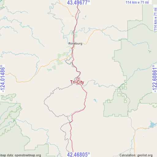
Tri-City GPS coordinates[2]
42° 59' 4.416" North, 123° 18' 42.228" West
| Map corner | latitude | longitude |
|---|---|---|
| Upper-left | 43.49677°, | -124.01486° |
| Center: | 42.98456°, | -123.31173° |
| Lower-right: | 42.46805°, | -122.60861° |
| Map W x H: | 114.4×114.4 km | = 71.1×71.1mi |
| max Lat: | 71.29058° ⇑16.8% North |
| Tri-City: | 42.98456° |
| min Lat: | ⇓83.2% South 19.06759° |
| min Long | Tri-City | max Long |
| -171.73463° | -123.31173° | -66.98998° |
| W 1.8%⇐ | ⇒98.2% E |
Elevation
Elevation of Tri-City is 240 m = 787 ft, and this is 54.8 m = 180 ft below average elevation for this country.
| Max E: |
3189 m = 10463 ft | 39.9% |
| Avg. | 294.8 m = 967 ft | |
| Tri-City | 240 m = 787 ft | |
Min E: |
-60 m = -197 ft | 60.1% |
See also: United States elevation on elevation.city.
Geographical zone
Tri-City is located in North temperate zone (between Tropic of Cancer and the Arctic Circle). Distance of this Northern Tropic circle is 2173.5 km =1350.5 mi to South.| Distance of | km | miles | from Tri-City |
|---|---|---|---|
| North Pole | 5227.6 | 3248.3 | to North |
| Arctic Circle | 2621.7 | 1629 | to North |
| Tropic Cancer | 2173.5 | 1350.5 | to South |
| Equator | 4779.4 | 2969.8 | to South |


Nearby cities:
15 places around Tri-City: (largest is in red/bold)
• Canyonville
6.8 km =4.2 mi,  158°
158°
• Glendale
29.1 km =18.1 mi,  198°
198°
• Glide
39.2 km =24.4 mi,  25°
25°
• Green
20.1 km =12.5 mi,  346°
346°
• Lookingglass
25.8 km =16 mi,  326°
326°
• Melrose
31.6 km =19.6 mi,  337°
337°
• Merlin
52.7 km =32.7 mi,  189°
189°
• Myrtle Creek
4.2 km =2.6 mi,  20°
20°
• Oakland
48.7 km =30.3 mi,  1°
1°
• Riddle
5.7 km =3.5 mi,  228°
228°
• Roseburg
25.9 km =16.1 mi, 354°
• Roseburg North
31.1 km =19.3 mi, 1°
• Sutherlin
45.1 km =28 mi,  359°
359°
• Wimer
51.3 km =31.9 mi, 164°
• Winston
17.4 km =10.8 mi, 331°
Sources, notices
• [Note1] Compared only with cities in United States existing in our database
• [Src1] Map data: © OpenStreetMap contributors (CC-BY-SA)
• [Src2] Other city data from geonames.org with taken over terms of usage.
• [Src3] Geographical zone / Annual Mean Temperature by Robert A. Rohde @ Wikipedia
