Fern Prairie geodata
Fern Prairie (Washington) is a populated place; located in United States in America/Los_Angeles (GMT-7) time zone. With population of 1,884 people, there are 12265 cities with bigger population in this country. Compared to other cities in United States, 94.4% of cities are located further ↓South; 96.3% of cities are located further →East and 62.2% of cities have higher elevation than Fern Prairie. Note1


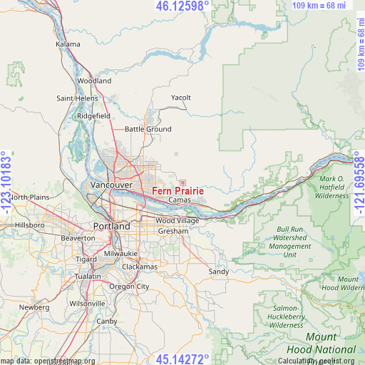
Fern Prairie GPS coordinates[2]
45° 38' 11.436" North, 122° 23' 55.32" West
| Map corner | latitude | longitude |
|---|---|---|
| Upper-left | 46.12598°, | -123.10183° |
| Center: | 45.63651°, | -122.3987° |
| Lower-right: | 45.14272°, | -121.69558° |
| Map W x H: | 109.3×109.3 km | = 67.9×67.9mi |
| max Lat: | 71.29058° ⇑5.6% North |
| Fern Prairie: | 45.63651° |
| min Lat: | ⇓94.4% South 19.06759° |
| min Long | Fern Prairie | max Long |
| -171.73463° | -122.3987° | -66.98998° |
| W 3.7%⇐ | ⇒96.3% E |
Elevation
Elevation of Fern Prairie is 143 m = 469 ft, and this is 151.8 m = 498 ft below average elevation for this country.
| Max E: |
3189 m = 10463 ft | 62.2% |
| Avg. | 294.8 m = 967 ft | |
| Fern Prairie | 143 m = 469 ft | |
Min E: |
-60 m = -197 ft | 37.8% |
See also: United States elevation on elevation.city.
Geographical zone
Fern Prairie is located in North temperate zone (between Tropic of Cancer and the Arctic Circle). Distance of this North polar circle is 2326.9 km =1445.9 mi to North.| Distance of | km | miles | from Fern Prairie |
|---|---|---|---|
| North Pole | 4932.8 | 3065.1 | to North |
| Arctic Circle | 2326.9 | 1445.9 | to North |
| Tropic Cancer | 2468.4 | 1533.8 | to South |
| Equator | 5074.3 | 3153 | to South |


Nearby cities:
15 places around Fern Prairie: (largest is in red/bold)
• Barberton
16.8 km =10.4 mi,  292°
292°
• Brush Prairie
15.7 km =9.8 mi,  313°
313°
• Camas
5.5 km =3.4 mi,  180°
180°
• Fairview
11.2 km =7 mi,  194°
194°
• Five Corners
14.7 km =9.1 mi, 291°
• Gresham
15.6 km =9.7 mi, 189°
• Hockinson
13.2 km =8.2 mi,  328°
328°
• Maywood Park
15.6 km =9.7 mi,  233°
233°
• Mill Plain
7.4 km =4.6 mi,  275°
275°
• Orchards
13 km =8.1 mi, 284°
• Troutdale
10.8 km =6.7 mi, 175°
• Venersborg
15.4 km =9.6 mi,  352°
352°
• Walnut Grove
16 km =9.9 mi, 282°
• Washougal
7 km =4.3 mi,  149°
149°
• Wood Village
11.5 km =7.1 mi, 187°
Sources, notices
• [Note1] Compared only with cities in United States existing in our database
• [Src1] Map data: © OpenStreetMap contributors (CC-BY-SA)
• [Src2] Other city data from geonames.org with taken over terms of usage.
• [Src3] Geographical zone / Annual Mean Temperature by Robert A. Rohde @ Wikipedia
