Grayland geodata
Grayland (Washington) is a populated place; located in United States in America/Los_Angeles (GMT-7) time zone. With population of 953 people, there are 16616 cities with bigger population in this country. Compared to other cities in United States, 96.3% of cities are located further ↓South; 98.6% of cities are located further →East and 97.4% of cities have higher elevation than Grayland. Note1


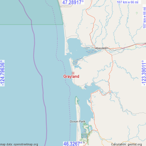
Grayland GPS coordinates[2]
46° 48' 36.324" North, 124° 5' 35.628" West
| Map corner | latitude | longitude |
|---|---|---|
| Upper-left | 47.28917°, | -124.79636° |
| Center: | 46.81009°, | -124.09323° |
| Lower-right: | 46.3267°, | -123.39011° |
| Map W x H: | 107×107 km | = 66.5×66.5mi |
| max Lat: | 71.29058° ⇑3.7% North |
| Grayland: | 46.81009° |
| min Lat: | ⇓96.3% South 19.06759° |
| min Long | Grayland | max Long |
| -171.73463° | -124.09323° | -66.98998° |
| W 1.4%⇐ | ⇒98.6% E |
Elevation
Elevation of Grayland is 6 m = 20 ft, and this is 288.8 m = 948 ft below average elevation for this country.
| Max E: |
3189 m = 10463 ft | 97.4% |
| Avg. | 294.8 m = 967 ft | |
| Grayland | 6 m = 20 ft | |
Min E: |
-60 m = -197 ft | 2.6% |
See also: United States elevation on elevation.city.
Geographical zone
Grayland is located in North temperate zone (between Tropic of Cancer and the Arctic Circle). Distance of this North polar circle is 2196.4 km =1364.8 mi to North.| Distance of | km | miles | from Grayland |
|---|---|---|---|
| North Pole | 4802.3 | 2984 | to North |
| Arctic Circle | 2196.4 | 1364.8 | to North |
| Tropic Cancer | 2598.9 | 1614.9 | to South |
| Equator | 5204.8 | 3234.1 | to South |


Nearby cities:
15 places around Grayland: (largest is in red/bold)
• Aberdeen
28 km =17.4 mi,  48°
48°
• Brady
48.8 km =30.3 mi,  64°
64°
• Central Park
35.5 km =22.1 mi, 59°
• Cohassett Beach
6.6 km =4.1 mi,  347°
347°
• Cosmopolis
29.2 km =18.1 mi, 56°
• Hoquiam
24.5 km =15.2 mi,  39°
39°
• Ilwaco
55.8 km =34.7 mi,  176°
176°
• Long Beach
51 km =31.7 mi, 176°
• Montesano
41.8 km =26 mi, 62°
• Ocean Park
35.5 km =22.1 mi,  174°
174°
• Ocean Shores
18.8 km =11.7 mi, 345°
• Raymond
30.7 km =19.1 mi,  116°
116°
• Satsop
51.1 km =31.8 mi,  65°
65°
• South Bend
27.4 km =17 mi,  126°
126°
• Westport
8.9 km =5.5 mi, 354°
Sources, notices
• [Note1] Compared only with cities in United States existing in our database
• [Src1] Map data: © OpenStreetMap contributors (CC-BY-SA)
• [Src2] Other city data from geonames.org with taken over terms of usage.
• [Src3] Geographical zone / Annual Mean Temperature by Robert A. Rohde @ Wikipedia
