Lacey geodata
Lacey (Washington) is a populated place; located in United States in America/Los_Angeles (GMT-7) time zone. With population of 46,409 people, there are 1036 cities with bigger population in this country. Compared to other cities in United States, 96.7% of cities are located further ↓South; 97.5% of cities are located further →East and 76.7% of cities have higher elevation than Lacey. Note1


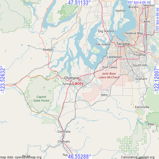
Lacey GPS coordinates[2]
47° 2' 3.336" North, 122° 49' 23.484" West
| Map corner | latitude | longitude |
|---|---|---|
| Upper-left | 47.51133°, | -123.52632° |
| Center: | 47.03426°, | -122.82319° |
| Lower-right: | 46.55288°, | -122.12007° |
| Map W x H: | 106.6×106.6 km | = 66.2×66.2mi |
| max Lat: | 71.29058° ⇑3.3% North |
| Lacey: | 47.03426° |
| min Lat: | ⇓96.7% South 19.06759° |
| min Long | Lacey | max Long |
| -171.73463° | -122.82319° | -66.98998° |
| W 2.5%⇐ | ⇒97.5% E |
Elevation
Elevation of Lacey is 62 m = 203 ft, and this is 232.8 m = 764 ft below average elevation for this country.
| Max E: |
3189 m = 10463 ft | 76.7% |
| Avg. | 294.8 m = 967 ft | |
| Lacey | 62 m = 203 ft | |
Min E: |
-60 m = -197 ft | 23.3% |
See also: Lacey elevation on elevation.city.
Geographical zone
Lacey is located in North temperate zone (between Tropic of Cancer and the Arctic Circle). Distance of this North polar circle is 2171.5 km =1349.3 mi to North.| Distance of | km | miles | from Lacey |
|---|---|---|---|
| North Pole | 4777.3 | 2968.5 | to North |
| Arctic Circle | 2171.5 | 1349.3 | to North |
| Tropic Cancer | 2623.8 | 1630.4 | to South |
| Equator | 5229.7 | 3249.6 | to South |


Nearby cities:
15 places around Lacey: (largest is in red/bold)
• DuPont
16.1 km =10 mi,  64°
64°
• Joint Base Lewis McChord
20.4 km =12.7 mi,  66°
66°
• Longbranch
20.1 km =12.5 mi,  14°
14°
• Nisqually Indian Community
10.3 km =6.4 mi,  95°
95°
• North Fort Lewis
19.8 km =12.3 mi, 60°
• North Yelm
18.5 km =11.5 mi,  115°
115°
• Olympia
5.9 km =3.7 mi,  273°
273°
• Rainier
19.2 km =11.9 mi,  147°
147°
• Roy
21.7 km =13.5 mi, 98°
• Steilacoom
22.5 km =14 mi,  47°
47°
• Tanglewilde
3.6 km =2.2 mi, 58°
• Tanglewilde-Thompson Place
3.7 km =2.3 mi, 59°
• Tenino
19.9 km =12.4 mi,  186°
186°
• Tumwater
7.2 km =4.5 mi,  245°
245°
• Yelm
19.4 km =12.1 mi, 121°
Sources, notices
• [Note1] Compared only with cities in United States existing in our database
• [Src1] Map data: © OpenStreetMap contributors (CC-BY-SA)
• [Src2] Other city data from geonames.org with taken over terms of usage.
• [Src3] Geographical zone / Annual Mean Temperature by Robert A. Rohde @ Wikipedia
