Heber-Overgaard geodata
Heber-Overgaard (Arizona) is a populated place; located in United States in America/Phoenix (GMT-7) time zone. With population of 2,822 people, there are 9960 cities with bigger population in this country. Compared to other cities in United States, 78.1% of cities are located further ↑North; 86% of cities are located further →East and 99.2% of cities have lower elevation than Heber-Overgaard. Note1


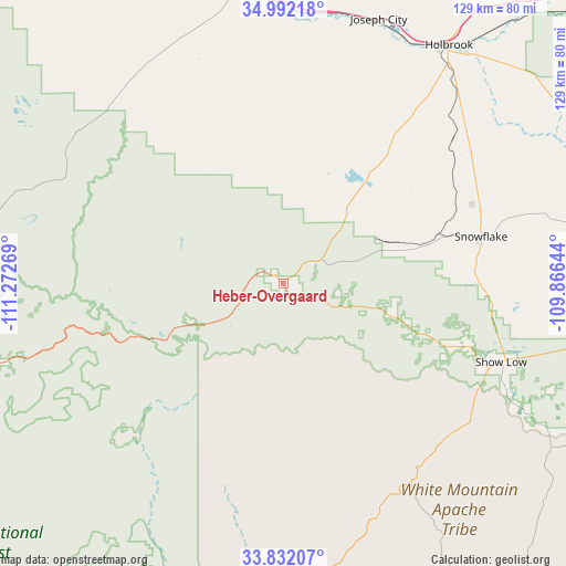
Heber-Overgaard GPS coordinates[2]
34° 24' 50.904" North, 110° 34' 10.416" West
| Map corner | latitude | longitude |
|---|---|---|
| Upper-left | 34.99218°, | -111.27269° |
| Center: | 34.41414°, | -110.56956° |
| Lower-right: | 33.83207°, | -109.86644° |
| Map W x H: | 129×129 km | = 80.2×80.2mi |
| max Lat: | 71.29058° ⇑78.1% North |
| Heber-Overgaard: | 34.41414° |
| min Lat: | ⇓21.9% South 19.06759° |
| min Long | Heber-Overgaard | max Long |
| -171.73463° | -110.56956° | -66.98998° |
| W 14%⇐ | ⇒86% E |
Elevation
Elevation of Heber-Overgaard is 2021 m = 6631 ft, and this is 1726.2 m = 5663 ft above average elevation for this country.
| Max E: |
3189 m = 10463 ft | 0.8% |
| Heber-Overgaard | 2021 m 6631 ft | |
| Avg. | 294.8 m = 967 ft | |
Min E: |
-60 m = -197 ft | 99.2% |
See also: United States elevation on elevation.city.
Geographical zone
Heber-Overgaard is located in North temperate zone (between Tropic of Cancer and the Arctic Circle). Distance of this Northern Tropic circle is 1220.6 km =758.4 mi to South.| Distance of | km | miles | from Heber-Overgaard |
|---|---|---|---|
| North Pole | 6180.6 | 3840.4 | to North |
| Arctic Circle | 3574.7 | 2221.2 | to North |
| Tropic Cancer | 1220.6 | 758.4 | to South |
| Equator | 3826.5 | 2377.7 | to South |


Nearby cities:
15 places around Heber-Overgaard: (largest is in red/bold)
• Cibecue
41.8 km =26 mi,  169°
169°
• Holbrook
66 km =41 mi,  34°
34°
• Hondah
68.4 km =42.5 mi,  121°
121°
• Joseph City
64 km =39.8 mi,  19°
19°
• Lake of the Woods
60.1 km =37.3 mi, 117°
• Linden
40.5 km =25.2 mi,  110°
110°
• Mesa del Caballo
68.1 km =42.3 mi,  257°
257°
• Pinetop-Lakeside
63.6 km =39.5 mi, 118°
• Show Low
52.6 km =32.7 mi, 109°
• Snowflake
46.4 km =28.8 mi,  76°
76°
• Star Valley
65.7 km =40.8 mi,  254°
254°
• Sun Valley
66 km =41 mi, 254°
• Taylor
44.2 km =27.5 mi, 82°
• White Mountain Lake
53 km =32.9 mi,  97°
97°
• Young
50.2 km =31.2 mi,  226°
226°
Sources, notices
• [Note1] Compared only with cities in United States existing in our database
• [Src1] Map data: © OpenStreetMap contributors (CC-BY-SA)
• [Src2] Other city data from geonames.org with taken over terms of usage.
• [Src3] Geographical zone / Annual Mean Temperature by Robert A. Rohde @ Wikipedia
