Thường Tín geodata
Thường Tín (Hanoi) is a seat of a second-order administrative division; located in Vietnam in Asia/Ho_Chi_Minh (GMT+7) time zone. In our database, there are 94 cities with bigger population. Compared to other cities in Vietnam, 70.6% of cities are located further ↓South; 60.2% of cities are located further →East and 54.8% of cities have higher elevation than Thường Tín. Note1


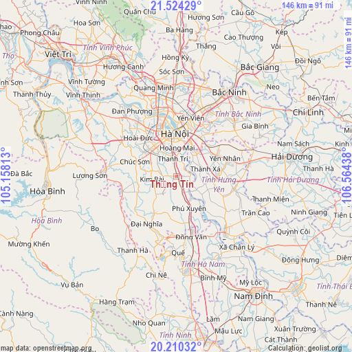
Thường Tín GPS coordinates[2]
20° 52' 7.464" North, 105° 51' 40.5" East
| Map corner | latitude | longitude |
|---|---|---|
| Upper-left | 21.52429°, | 105.15813° |
| Center: | 20.86874°, | 105.86125° |
| Lower-right: | 20.21032°, | 106.56438° |
| Map W x H: | 146.1×146.1 km | = 90.8×90.8mi |
| max Lat: | 23.27841° ⇑29.4% North |
| Thường Tín: | 20.86874° |
| min Lat: | ⇓70.6% South 8.65724° |
| min Long | Thường Tín | max Long |
| 102.4579° | 105.86125° | 112.72541° |
| W 39.8%⇐ | ⇒60.2% E |
Elevation
Elevation of Thường Tín is 12 m = 39 ft, and this is 117.5 m = 385 ft below average elevation for this country.
| Max E: |
1592 m = 5223 ft | 54.8% |
| Avg. | 129.5 m = 425 ft | |
| Thường Tín | 12 m = 39 ft | |
Min E: |
-1 m = -3 ft | 45.2% |
See also: Vietnam elevation on elevation.city.
Geographical zone
Thường Tín is located in North Torrid zone (between Equator and Tropic of Cancer). Distance of this Northern Tropic circle is 285.5 km =177.4 mi to North.| Distance of | km | miles | from Thường Tín |
|---|---|---|---|
| North Pole | 7686.7 | 4776.3 | to North |
| Arctic Circle | 5080.8 | 3157.1 | to North |
| Tropic Cancer | 285.5 | 177.4 | to North |
| Equator | 2320.4 | 1441.8 | to South |


Nearby cities:
15 places around Thường Tín: (largest is in red/bold)
• Chúc Sơn
17.7 km =11 mi,  290°
290°
• Hai BàTrưng
16.1 km =10 mi,  355°
355°
• Hanoi
17.4 km =10.8 mi,  353°
353°
• Hoàn Kiếm
17.8 km =11.1 mi, 356°
• Hà Đông
14.3 km =8.9 mi,  323°
323°
• Khoái Châu
12.5 km =7.8 mi,  105°
105°
• Kim Bài
9.7 km =6 mi,  259°
259°
• Như Quỳnh
18 km =11.2 mi,  45°
45°
• Phú Xuyên
14.7 km =9.1 mi,  158°
158°
• Thanh Xuân
15.4 km =9.6 mi,  335°
335°
• Vân Đình
17.5 km =10.9 mi,  211°
211°
• Văn Giang
11 km =6.8 mi,  41°
41°
• Văn Điển
8.8 km =5.5 mi, 348°
• Yên Mỹ
18.2 km =11.3 mi,  84°
84°
• Đống Đa
17.1 km =10.6 mi, 349°
Sources, notices
• [Note1] Compared only with cities in Vietnam existing in our database
• [Src1] Map data: © OpenStreetMap contributors (CC-BY-SA)
• [Src2] Other city data from geonames.org with taken over terms of usage.
• [Src3] Geographical zone / Annual Mean Temperature by Robert A. Rohde @ Wikipedia
