Quỳ Châu geodata
Quỳ Châu (Nghệ An) is a seat of a second-order administrative division; located in Vietnam in Asia/Ho_Chi_Minh (GMT+7) time zone. In our database, there are 94 cities with bigger population. Compared to other cities in Vietnam, 56.4% of cities are located further ↓South; 87.8% of cities are located further →East and 74.7% of cities have lower elevation than Quỳ Châu. Note1


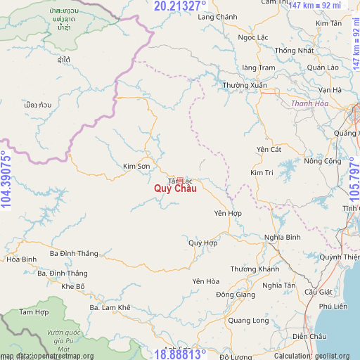
Quỳ Châu GPS coordinates[2]
19° 33' 7.416" North, 105° 5' 37.932" East
| Map corner | latitude | longitude |
|---|---|---|
| Upper-left | 20.21327°, | 104.39075° |
| Center: | 19.55206°, | 105.09387° |
| Lower-right: | 18.88813°, | 105.797° |
| Map W x H: | 147.3×147.3 km | = 91.5×91.5mi |
| max Lat: | 23.27841° ⇑43.6% North |
| Quỳ Châu: | 19.55206° |
| min Lat: | ⇓56.4% South 8.65724° |
| min Long | Quỳ Châu | max Long |
| 102.4579° | 105.09387° | 112.72541° |
| W 12.2%⇐ | ⇒87.8% E |
Elevation
Elevation of Quỳ Châu is 95 m = 312 ft, and this is 34.5 m = 113 ft below average elevation for this country.
| Max E: |
1592 m = 5223 ft | 25.3% |
| Avg. | 129.5 m = 425 ft | |
| Quỳ Châu | 95 m = 312 ft | |
Min E: |
-1 m = -3 ft | 74.7% |
See also: Vietnam elevation on elevation.city.
Geographical zone
Quỳ Châu is located in North Torrid zone (between Equator and Tropic of Cancer). Distance of this Northern Tropic circle is 431.9 km =268.4 mi to North.| Distance of | km | miles | from Quỳ Châu |
|---|---|---|---|
| North Pole | 7833.1 | 4867.3 | to North |
| Arctic Circle | 5227.2 | 3248 | to North |
| Tropic Cancer | 431.9 | 268.4 | to North |
| Equator | 2174 | 1350.9 | to South |


Nearby cities:
15 places around Quỳ Châu: (largest is in red/bold)
• Anh Son
64.9 km =40.3 mi,  183°
183°
• Bến Sung
51.5 km =32 mi,  80°
80°
• Con Cuông
60.1 km =37.3 mi,  201°
201°
• Cầu Giát
72.2 km =44.9 mi,  128°
128°
• Kim Sơn
19.2 km =11.9 mi,  287°
287°
• Lang Chánh
68.9 km =42.8 mi,  13°
13°
• Ngọc Lặc
66.5 km =41.3 mi,  25°
25°
• Nông Cống
58.7 km =36.5 mi, 82°
• Quỳ Hợp
26.9 km =16.7 mi,  159°
159°
• Thường Xuân
47.2 km =29.3 mi, 34°
• Thọ Xuân
61.5 km =38.2 mi,  46°
46°
• Triệu Sơn
61.1 km =38 mi,  60°
60°
• Tân Kỳ
59 km =36.7 mi, 161°
• Vạn Hà
71.6 km =44.5 mi, 58°
• Yên Cát
37.2 km =23.1 mi,  70°
70°
Sources, notices
• [Note1] Compared only with cities in Vietnam existing in our database
• [Src1] Map data: © OpenStreetMap contributors (CC-BY-SA)
• [Src2] Other city data from geonames.org with taken over terms of usage.
• [Src3] Geographical zone / Annual Mean Temperature by Robert A. Rohde @ Wikipedia
