Orahovac geodata
Orahovac (Gjakova) is a seat of a second-order administrative division; located in Kosovo in Europe/Belgrade (GMT+2) time zone. With population of 22,049 people, there are 16 cities with bigger population in this country. Compared to other cities in Kosovo, 76.9% of cities are located further ↑North; 58.5% of cities are located further →East and 92.3% of cities have higher elevation than Orahovac. Note1


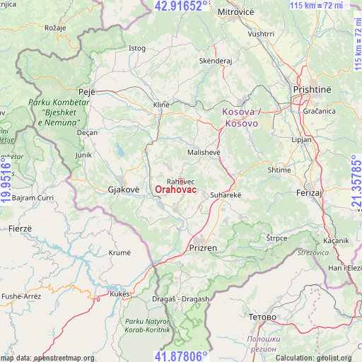
Orahovac GPS coordinates[2]
42° 23' 57.984" North, 20° 39' 16.992" East
| Map corner | latitude | longitude |
|---|---|---|
| Upper-left | 42.91652°, | 19.9516° |
| Center: | 42.39944°, | 20.65472° |
| Lower-right: | 41.87806°, | 21.35785° |
| Map W x H: | 115.5×115.5 km | = 71.8×71.8mi |
| max Lat: | 43.10389° ⇑76.9% North |
| Orahovac: | 42.39944° |
| min Lat: | ⇓23.1% South 42.0265° |
| min Long | Orahovac | max Long |
| 20.27722° | 20.65472° | 21.59889° |
| W 41.5%⇐ | ⇒58.5% E |
Elevation
Elevation of Orahovac is 393 m = 1289 ft, and this is 151.6 m = 497 ft below average elevation for this country.
| Max E: |
1062 m = 3484 ft | 92.3% |
| Avg. | 544.6 m = 1787 ft | |
| Orahovac | 393 m = 1289 ft | |
Min E: |
333 m = 1093 ft | 7.7% |
See also: Kosovo elevation on elevation.city.
Geographical zone
Orahovac is located in North temperate zone (between Tropic of Cancer and the Arctic Circle). Distance of this Northern Tropic circle is 2108.5 km =1310.2 mi to South.| Distance of | km | miles | from Orahovac |
|---|---|---|---|
| North Pole | 5292.7 | 3288.7 | to North |
| Arctic Circle | 2686.8 | 1669.5 | to North |
| Tropic Cancer | 2108.5 | 1310.2 | to South |
| Equator | 4714.4 | 2929.4 | to South |


Nearby cities:
15 places around Orahovac: (largest is in red/bold)
• Budakovo
22.7 km =14.1 mi,  102°
102°
• Buqan
24.2 km =15 mi,  316°
316°
• Gjakovë
18.5 km =11.5 mi,  263°
263°
• Gjinoc
16.2 km =10.1 mi,  123°
123°
• Kosuriq
24.6 km =15.3 mi, 320°
• Leshan
13.1 km =8.1 mi,  127°
127°
• Llazicë
19.5 km =12.1 mi,  27°
27°
• Mališevo
11.9 km =7.4 mi,  39°
39°
• Mamuša
9.7 km =6 mi,  142°
142°
• Nishor
12.4 km =7.7 mi,  77°
77°
• Pagaruša
7.5 km =4.7 mi,  72°
72°
• Peqan
13.8 km =8.6 mi, 97°
• Prizren
21.8 km =13.5 mi,  161°
161°
• Shaptej
25.2 km =15.7 mi,  295°
295°
• Suva Reka
14.7 km =9.1 mi,  107°
107°
Sources, notices
• [Note1] Compared only with cities in Kosovo existing in our database
• [Src1] Map data: © OpenStreetMap contributors (CC-BY-SA)
• [Src2] Other city data from geonames.org with taken over terms of usage.
• [Src3] Geographical zone / Annual Mean Temperature by Robert A. Rohde @ Wikipedia
