Delvinë geodata
Delvinë (Vlorë) is a seat of a second-order administrative division; located in Albania in Europe/Tirane (GMT+2) time zone. With population of 3,916 people, there are 51 cities with bigger population in this country. Compared to other cities in Albania, 96.9% of cities are located further ↑North; 61.1% of cities are located further ←West and 57.5% of cities have higher elevation than Delvinë. Note1


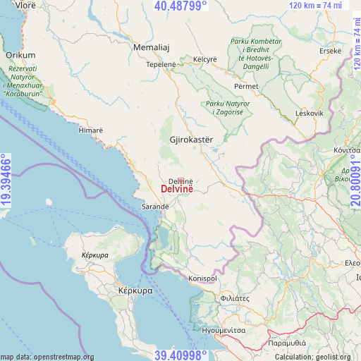
Delvinë GPS coordinates[2]
39° 57' 3.996" North, 20° 5' 52.008" East
| Map corner | latitude | longitude |
|---|---|---|
| Upper-left | 40.48799°, | 19.39466° |
| Center: | 39.95111°, | 20.09778° |
| Lower-right: | 39.40998°, | 20.80091° |
| Map W x H: | 119.9×119.9 km | = 74.5×74.5mi |
| max Lat: | 42.45139° ⇑96.9% North |
| Delvinë: | 39.95111° |
| min Lat: | ⇓3.1% South 39.65889° |
| min Long | Delvinë | max Long |
| 19.40556° | 20.09778° | 20.99° |
| W 61.1%⇐ | ⇒38.9% E |
Elevation
Elevation of Delvinë is 200 m = 656 ft, and this is 174.6 m = 573 ft below average elevation for this country.
| Max E: |
1352 m = 4436 ft | 57.5% |
| Avg. | 374.6 m = 1229 ft | |
| Delvinë | 200 m = 656 ft | |
Min E: |
-2 m = -7 ft | 42.5% |
See also: Albania elevation on elevation.city.
Geographical zone
Delvinë is located in North temperate zone (between Tropic of Cancer and the Arctic Circle). Distance of this Northern Tropic circle is 1836.2 km =1141 mi to South.| Distance of | km | miles | from Delvinë |
|---|---|---|---|
| North Pole | 5564.9 | 3457.9 | to North |
| Arctic Circle | 2959 | 1838.6 | to North |
| Tropic Cancer | 1836.2 | 1141 | to South |
| Equator | 4442.1 | 2760.2 | to South |


Nearby cities:
15 places around Delvinë: (largest is in red/bold)
• Aliko
10.4 km =6.5 mi,  188°
188°
• Dhivër
14.1 km =8.8 mi,  154°
154°
• Finiq
6 km =3.7 mi,  214°
214°
• Gjirokastër
14.3 km =8.9 mi,  14°
14°
• Kardhiq
19.9 km =12.4 mi,  342°
342°
• Lazarat
11.4 km =7.1 mi,  21°
21°
• Libohovë
16.7 km =10.4 mi,  57°
57°
• Livadhja
18.1 km =11.2 mi,  173°
173°
• Lukovë
16.3 km =10.1 mi,  286°
286°
• Mesopotam
4.6 km =2.9 mi, 185°
• Odrie
21.1 km =13.1 mi, 16°
• Qestorat
20.4 km =12.7 mi,  25°
25°
• Sarandë
11.6 km =7.2 mi,  223°
223°
• Saraqinishtë
20.5 km =12.7 mi, 33°
• Vergo
9.8 km =6.1 mi,  309°
309°
Sources, notices
• [Note1] Compared only with cities in Albania existing in our database
• [Src1] Map data: © OpenStreetMap contributors (CC-BY-SA)
• [Src2] Other city data from geonames.org with taken over terms of usage.
• [Src3] Geographical zone / Annual Mean Temperature by Robert A. Rohde @ Wikipedia
