Burastan geodata
Burastan (Ararat) is a populated place; located in Armenia in Asia/Yerevan (GMT+4) time zone. With population of 1,998 people, there are 155 cities with bigger population in this country. Compared to other cities in Armenia, 83.4% of cities are located further ↑North; 53.5% of cities are located further →East and 87.3% of cities have higher elevation than Burastan. Note1


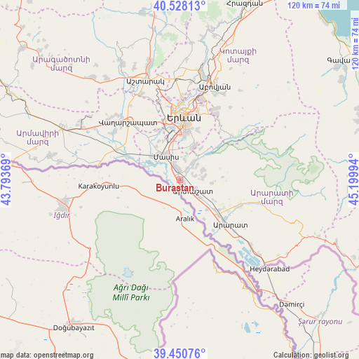
Burastan GPS coordinates[2]
39° 59' 29.652" North, 44° 29' 48.516" East
| Map corner | latitude | longitude |
|---|---|---|
| Upper-left | 40.52813°, | 43.79369° |
| Center: | 39.99157°, | 44.49681° |
| Lower-right: | 39.45076°, | 45.19994° |
| Map W x H: | 119.8×119.8 km | = 74.4×74.4mi |
| max Lat: | 41.24358° ⇑83.4% North |
| Burastan: | 39.99157° |
| min Lat: | ⇓16.6% South 38.90292° |
| min Long | Burastan | max Long |
| 43.74722° | 44.49681° | 46.5446° |
| W 46.5%⇐ | ⇒53.5% E |
Elevation
Elevation of Burastan is 839 m = 2753 ft, and this is 462.5 m = 1517 ft below average elevation for this country.
| Max E: |
2169 m = 7116 ft | 87.3% |
| Avg. | 1301.5 m = 4270 ft | |
| Burastan | 839 m = 2753 ft | |
Min E: |
440 m = 1444 ft | 12.7% |
See also: Armenia elevation on elevation.city.
Geographical zone
Burastan is located in North temperate zone (between Tropic of Cancer and the Arctic Circle). Distance of this Northern Tropic circle is 1840.7 km =1143.8 mi to South.| Distance of | km | miles | from Burastan |
|---|---|---|---|
| North Pole | 5560.4 | 3455.1 | to North |
| Arctic Circle | 2954.5 | 1835.8 | to North |
| Tropic Cancer | 1840.7 | 1143.8 | to South |
| Equator | 4446.6 | 2763 | to South |


Nearby cities:
15 places around Burastan: (largest is in red/bold)
• Arevabuyr
5.5 km =3.4 mi,  334°
334°
• Arevshat
6.6 km =4.1 mi,  35°
35°
• Artashat
5.3 km =3.3 mi,  129°
129°
• Aygestan
5.4 km =3.4 mi,  76°
76°
• Berk’anush
2.3 km =1.4 mi, 131°
• Byuravan
3.3 km =2.1 mi,  34°
34°
• Dalar
3 km =1.9 mi,  123°
123°
• Dimitrov
1.9 km =1.2 mi,  346°
346°
• Hovtashen
5.5 km =3.4 mi,  313°
313°
• Jrahovit
6.5 km =4 mi,  343°
343°
• Mrganush
6.7 km =4.2 mi,  51°
51°
• Mrgavan
3.9 km =2.4 mi, 122°
• Mrgavet
4.2 km =2.6 mi, 344°
• Nshavan
4.7 km =2.9 mi, 31°
• Vostan
6.1 km =3.8 mi, 118°
Sources, notices
• [Note1] Compared only with cities in Armenia existing in our database
• [Src1] Map data: © OpenStreetMap contributors (CC-BY-SA)
• [Src2] Other city data from geonames.org with taken over terms of usage.
• [Src3] Geographical zone / Annual Mean Temperature by Robert A. Rohde @ Wikipedia
