Valle Grande geodata
Valle Grande (Jujuy) is a seat of a second-order administrative division; located in Argentina in America/Argentina/Jujuy (GMT-3) time zone. In our database, there are 785 cities with bigger population. Compared to other cities in Argentina, 98.6% of cities are located further ↓South; 71.8% of cities are located further →East and 97.7% of cities have lower elevation than Valle Grande. Note1


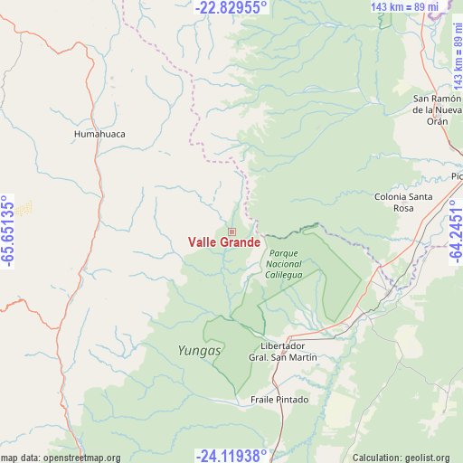
Valle Grande GPS coordinates[2]
23° 28' 33.744" South, 64° 56' 53.592" West
| Map corner | latitude | longitude |
|---|---|---|
| Upper-left | -22.82955°, | -65.65135° |
| Center: | -23.47604°, | -64.94822° |
| Lower-right: | -24.11938°, | -64.2451° |
| Map W x H: | 143.4×143.4 km | = 89.1×89.1mi |
| max Lat: | -21.94467° ⇑1.4% North |
| Valle Grande: | -23.47604° |
| min Lat: | ⇓98.6% South -54.81084° |
| min Long | Valle Grande | max Long |
| -72.88605° | -64.94822° | -53.64581° |
| W 28.2%⇐ | ⇒71.8% E |
Elevation
Elevation of Valle Grande is 1693 m = 5554 ft, and this is 1343.7 m = 4408 ft above average elevation for this country.
| Max E: |
4040 m = 13255 ft | 2.3% |
| Valle Grande | 1693 m 5554 ft | |
| Avg. | 349.3 m = 1146 ft | |
Min E: |
-2 m = -7 ft | 97.7% |
See also: Argentina elevation on elevation.city.
Geographical zone
Valle Grande is located in South temperate zone (between Tropic of Capricorn and the Antarctic Circle). Distance of this Southern Tropic circle is 4.4 km =2.7 mi to North.| Distance of | km | miles | from Valle Grande |
|---|---|---|---|
| Equator | 2610.3 | 1622 | to North |
| Tropic Capricorn | 4.4 | 2.7 | to North |
| Antarctic Circle | 4790.9 | 2976.9 | to South |
| South Pole | 7396.8 | 4596.2 | to South |


Nearby cities:
15 places around Valle Grande: (largest is in red/bold)
• Caimancito
46.6 km =29 mi,  129°
129°
• Calilegua
37.7 km =23.4 mi,  151°
151°
• El Aguilar
80.1 km =49.8 mi,  291°
291°
• Fraile Pintado
53.8 km =33.4 mi,  163°
163°
• Humahuaca
50.9 km =31.6 mi,  306°
306°
• Ingenio La Esperanza
84.1 km =52.3 mi,  172°
172°
• Iruya
80.9 km =50.3 mi,  340°
340°
• Libertador General San Martín
40.2 km =25 mi, 155°
• Maimará
49.7 km =30.9 mi,  250°
250°
• Palma Sola
86.2 km =53.6 mi, 130°
• San Pedro de Jujuy
84.4 km =52.4 mi, 174°
• San Ramón de la Nueva Orán
74 km =46 mi,  59°
59°
• Tilcara
47 km =29.2 mi,  256°
256°
• Tumbaya
67.8 km =42.1 mi,  231°
231°
• Yuto
52 km =32.3 mi,  110°
110°
Sources, notices
• [Note1] Compared only with cities in Argentina existing in our database
• [Src1] Map data: © OpenStreetMap contributors (CC-BY-SA)
• [Src2] Other city data from geonames.org with taken over terms of usage.
• [Src3] Geographical zone / Annual Mean Temperature by Robert A. Rohde @ Wikipedia
