Wetzelsdorf geodata
Wetzelsdorf (Styria) is a section of populated place; located in Austria in Europe/Vienna (GMT+2) time zone. With population of 15,687 people, there are 42 cities with bigger population in this country. Compared to other cities in Austria, 81.8% of cities are located further ↑North; 62.5% of cities are located further ←West and 63.2% of cities have higher elevation than Wetzelsdorf. Note1


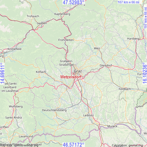
Wetzelsdorf GPS coordinates[2]
47° 3' 10.548" North, 15° 23' 57.228" East
| Map corner | latitude | longitude |
|---|---|---|
| Upper-left | 47.52983°, | 14.69611° |
| Center: | 47.05293°, | 15.39923° |
| Lower-right: | 46.57172°, | 16.10236° |
| Map W x H: | 106.5×106.5 km | = 66.2×66.2mi |
| max Lat: | 48.98333° ⇑81.8% North |
| Wetzelsdorf: | 47.05293° |
| min Lat: | ⇓18.2% South 46.48841° |
| min Long | Wetzelsdorf | max Long |
| 9.57802° | 15.39923° | 17.1° |
| W 62.5%⇐ | ⇒37.5% E |
Elevation
Elevation of Wetzelsdorf is 362 m = 1188 ft, and this is 143.5 m = 471 ft below average elevation for this country.
| Max E: |
2140 m = 7021 ft | 63.2% |
| Avg. | 505.5 m = 1658 ft | |
| Wetzelsdorf | 362 m = 1188 ft | |
Min E: |
118 m = 387 ft | 36.8% |
See also: Austria elevation on elevation.city.
Geographical zone
Wetzelsdorf is located in North temperate zone (between Tropic of Cancer and the Arctic Circle). Distance of this North polar circle is 2169.4 km =1348 mi to North.| Distance of | km | miles | from Wetzelsdorf |
|---|---|---|---|
| North Pole | 4775.3 | 2967.2 | to North |
| Arctic Circle | 2169.4 | 1348 | to North |
| Tropic Cancer | 2625.9 | 1631.7 | to South |
| Equator | 5231.8 | 3250.9 | to South |


Nearby cities:
15 places around Wetzelsdorf: (largest is in red/bold)
• Eggenberg
1.9 km =1.2 mi,  358°
358°
• Geidorf
4.8 km =3 mi,  44°
44°
• Graz
4.1 km =2.5 mi,  68°
68°
• Gries
2.2 km =1.4 mi,  61°
61°
• Gösting
5 km =3.1 mi, 358°
• Innere Stadt
3.5 km =2.2 mi, 64°
• Jakomini
3.8 km =2.4 mi,  87°
87°
• Lend
3.5 km =2.2 mi,  20°
20°
• Liebenau
5.6 km =3.5 mi,  113°
113°
• Puntigam
3.4 km =2.1 mi,  130°
130°
• Sankt Leonhard
4.8 km =3 mi, 67°
• Sankt Peter
5.1 km =3.2 mi, 93°
• Straßgang
2.2 km =1.4 mi,  178°
178°
• Thal
3.9 km =2.4 mi,  311°
311°
• Waltendorf
5.3 km =3.3 mi, 73°
Sources, notices
• [Note1] Compared only with cities in Austria existing in our database
• [Src1] Map data: © OpenStreetMap contributors (CC-BY-SA)
• [Src2] Other city data from geonames.org with taken over terms of usage.
• [Src3] Geographical zone / Annual Mean Temperature by Robert A. Rohde @ Wikipedia
