Weidlingbach geodata
Weidlingbach (Lower Austria) is a populated place; located in Austria in Europe/Vienna (GMT+2) time zone. With population of 553 people, there are 2307 cities with bigger population in this country. Compared to other cities in Austria, 83.8% of cities are located further ↓South; 87.4% of cities are located further ←West and 69% of cities have higher elevation than Weidlingbach. Note1
Administrative division(s):
- Level 1: Lower Austria
- Level 2: Politischer Bezirk Tulln
- Level 3: Klosterneuburg


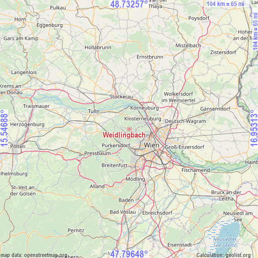
Weidlingbach GPS coordinates[2]
48° 16' 0.012" North, 16° 15' 0" East
| Map corner | latitude | longitude |
|---|---|---|
| Upper-left | 48.73257°, | 15.54688° |
| Center: | 48.26667°, | 16.25° |
| Lower-right: | 47.79648°, | 16.95313° |
| Map W x H: | 104.1×104.1 km | = 64.7×64.7mi |
| max Lat: | 48.98333° ⇑16.2% North |
| Weidlingbach: | 48.26667° |
| min Lat: | ⇓83.8% South 46.48841° |
| min Long | Weidlingbach | max Long |
| 9.57802° | 16.25° | 17.1° |
| W 87.4%⇐ | ⇒12.6% E |
Elevation
Elevation of Weidlingbach is 334 m = 1096 ft, and this is 171.5 m = 563 ft below average elevation for this country.
| Max E: |
2140 m = 7021 ft | 69% |
| Avg. | 505.5 m = 1658 ft | |
| Weidlingbach | 334 m = 1096 ft | |
Min E: |
118 m = 387 ft | 31% |
See also: Austria elevation on elevation.city.
Geographical zone
Weidlingbach is located in North temperate zone (between Tropic of Cancer and the Arctic Circle). Distance of this North polar circle is 2034.4 km =1264.1 mi to North.| Distance of | km | miles | from Weidlingbach |
|---|---|---|---|
| North Pole | 4640.3 | 2883.3 | to North |
| Arctic Circle | 2034.4 | 1264.1 | to North |
| Tropic Cancer | 2760.8 | 1715.5 | to South |
| Equator | 5366.8 | 3334.8 | to South |


Nearby cities:
15 places around Weidlingbach: (largest is in red/bold)
• Altenberg
8.1 km =5 mi,  350°
350°
• Gablitz
8.3 km =5.2 mi,  239°
239°
• Gugging
5.2 km =3.2 mi,  358°
358°
• Hernals
3.9 km =2.4 mi,  161°
161°
• Hintersdorf
4.5 km =2.8 mi,  326°
326°
• Kierling
5.2 km =3.2 mi,  21°
21°
• Kirchbach
4.4 km =2.7 mi,  298°
298°
• Klosterneuburg
7 km =4.3 mi,  52°
52°
• Kritzendorf
7.9 km =4.9 mi,  28°
28°
• Mauerbach
6.5 km =4 mi,  248°
248°
• Ottakring
6.7 km =4.2 mi,  146°
146°
• Sankt Andrä vor dem Hagenthale
6.9 km =4.3 mi, 332°
• Weidling
5.1 km =3.2 mi,  58°
58°
• Wolfpassing
7.4 km =4.6 mi,  314°
314°
• Wördern
8 km =5 mi,  338°
338°
Sources, notices
• [Note1] Compared only with cities in Austria existing in our database
• [Src1] Map data: © OpenStreetMap contributors (CC-BY-SA)
• [Src2] Other city data from geonames.org with taken over terms of usage.
• [Src3] Geographical zone / Annual Mean Temperature by Robert A. Rohde @ Wikipedia
