Gablitz geodata
Gablitz (Lower Austria) is a seat of a third-order administrative division; located in Austria in Europe/Vienna (GMT+2) time zone. With population of 4,968 people, there are 192 cities with bigger population in this country. Compared to other cities in Austria, 81.3% of cities are located further ↓South; 84.8% of cities are located further ←West and 80.5% of cities have higher elevation than Gablitz. Note1
Administrative division(s):
- Level 1: Lower Austria
- Level 2: Politischer Bezirk Sankt Pölten
- Level 3: Gablitz


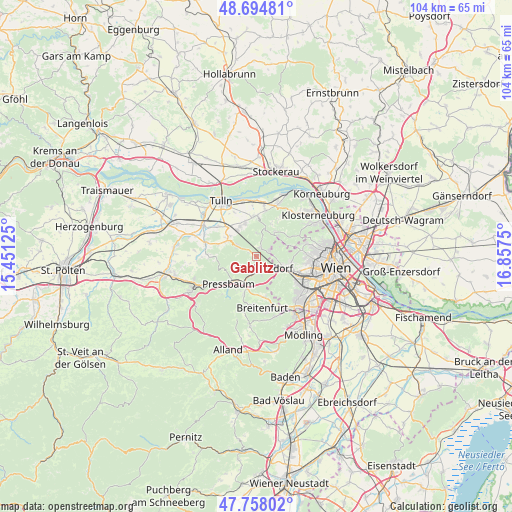
Gablitz GPS coordinates[2]
48° 13' 42.816" North, 16° 9' 15.732" East
| Map corner | latitude | longitude |
|---|---|---|
| Upper-left | 48.69481°, | 15.45125° |
| Center: | 48.22856°, | 16.15437° |
| Lower-right: | 47.75802°, | 16.8575° |
| Map W x H: | 104.2×104.2 km | = 64.7×64.7mi |
| max Lat: | 48.98333° ⇑18.7% North |
| Gablitz: | 48.22856° |
| min Lat: | ⇓81.3% South 46.48841° |
| min Long | Gablitz | max Long |
| 9.57802° | 16.15437° | 17.1° |
| W 84.8%⇐ | ⇒15.2% E |
Elevation
Elevation of Gablitz is 272 m = 892 ft, and this is 233.5 m = 766 ft below average elevation for this country.
| Max E: |
2140 m = 7021 ft | 80.5% |
| Avg. | 505.5 m = 1658 ft | |
| Gablitz | 272 m = 892 ft | |
Min E: |
118 m = 387 ft | 19.5% |
See also: Austria elevation on elevation.city.
Geographical zone
Gablitz is located in North temperate zone (between Tropic of Cancer and the Arctic Circle). Distance of this North polar circle is 2038.7 km =1266.8 mi to North.| Distance of | km | miles | from Gablitz |
|---|---|---|---|
| North Pole | 4644.5 | 2886 | to North |
| Arctic Circle | 2038.7 | 1266.8 | to North |
| Tropic Cancer | 2756.6 | 1712.9 | to South |
| Equator | 5362.5 | 3332.1 | to South |


Nearby cities:
15 places around Gablitz: (largest is in red/bold)
• Elsbach
8.2 km =5.1 mi,  288°
288°
• Hernals
8.3 km =5.2 mi,  86°
86°
• Irenental
4.9 km =3 mi,  237°
237°
• Katzelsdorf
7.1 km =4.4 mi,  331°
331°
• Kirchbach
7.1 km =4.4 mi,  26°
26°
• Königstetten
8.2 km =5.1 mi,  355°
355°
• Mauerbach
2.1 km =1.3 mi, 28°
• Pressbaum
7.3 km =4.5 mi,  226°
226°
• Purkersdorf
2.8 km =1.7 mi,  146°
146°
• Riederberg
4.8 km =3 mi,  299°
299°
• Tulbing
7.6 km =4.7 mi,  341°
341°
• Tullnerbach-Lawies
6.4 km =4 mi, 226°
• Weidlingbach
8.3 km =5.2 mi,  59°
59°
• Wilfersdorf
6.8 km =4.2 mi,  324°
324°
• Wolfsgraben
8.2 km =5.1 mi,  197°
197°
Sources, notices
• [Note1] Compared only with cities in Austria existing in our database
• [Src1] Map data: © OpenStreetMap contributors (CC-BY-SA)
• [Src2] Other city data from geonames.org with taken over terms of usage.
• [Src3] Geographical zone / Annual Mean Temperature by Robert A. Rohde @ Wikipedia
