Übelbach geodata
Übelbach (Styria) is a seat of a third-order administrative division; located in Austria in Europe/Vienna (GMT+2) time zone. With population of 1,078 people, there are 1188 cities with bigger population in this country. Compared to other cities in Austria, 70.7% of cities are located further ↑North; 58.5% of cities are located further ←West and 67.7% of cities have lower elevation than Übelbach. Note1
Administrative division(s):
- Level 1: Styria
- Level 2: Politischer Bezirk Graz-Umgebung
- Level 3: Übelbach


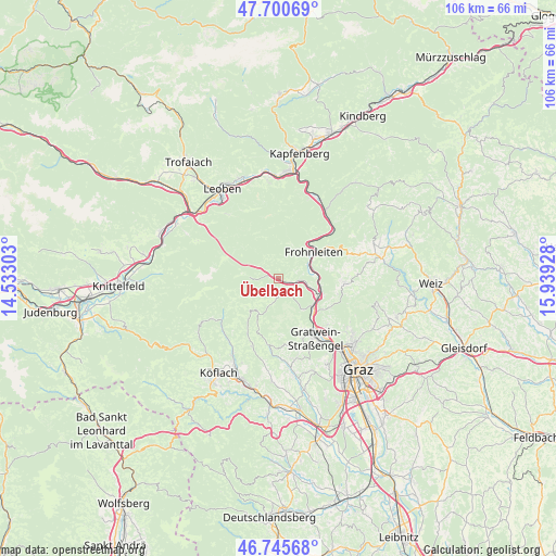
Übelbach GPS coordinates[2]
47° 13' 31.224" North, 15° 14' 10.14" East
| Map corner | latitude | longitude |
|---|---|---|
| Upper-left | 47.70069°, | 14.53303° |
| Center: | 47.22534°, | 15.23615° |
| Lower-right: | 46.74568°, | 15.93928° |
| Map W x H: | 106.2×106.2 km | = 66×66mi |
| max Lat: | 48.98333° ⇑70.7% North |
| Übelbach: | 47.22534° |
| min Lat: | ⇓29.3% South 46.48841° |
| min Long | Übelbach | max Long |
| 9.57802° | 15.23615° | 17.1° |
| W 58.5%⇐ | ⇒41.5% E |
Elevation
Elevation of Übelbach is 570 m = 1870 ft, and this is 64.5 m = 212 ft above average elevation for this country.
| Max E: |
2140 m = 7021 ft | 32.3% |
| Übelbach | 570 m 1870 ft | |
| Avg. | 505.5 m = 1658 ft | |
Min E: |
118 m = 387 ft | 67.7% |
See also: Austria elevation on elevation.city.
Geographical zone
Übelbach is located in North temperate zone (between Tropic of Cancer and the Arctic Circle). Distance of this North polar circle is 2150.2 km =1336.1 mi to North.| Distance of | km | miles | from Übelbach |
|---|---|---|---|
| North Pole | 4756.1 | 2955.3 | to North |
| Arctic Circle | 2150.2 | 1336.1 | to North |
| Tropic Cancer | 2645 | 1643.5 | to South |
| Equator | 5251 | 3262.8 | to South |


Nearby cities:
15 places around Übelbach: (largest is in red/bold)
• Deutschfeistritz
8.1 km =5 mi,  111°
111°
• Eisbach
12.3 km =7.6 mi,  169°
169°
• Forstviertel
12 km =7.5 mi,  134°
134°
• Freßnitzviertel
12.9 km =8 mi,  120°
120°
• Frohnleiten
7.6 km =4.7 mi,  52°
52°
• Geistthal
8.4 km =5.2 mi,  218°
218°
• Gratkorn
13.4 km =8.3 mi,  139°
139°
• Hörgas
9.7 km =6 mi,  150°
150°
• Kirchenviertel
13.4 km =8.3 mi, 141°
• Kleinstübing
7.7 km =4.8 mi, 127°
• Land-Übelbach
1.8 km =1.1 mi, 105°
• Peggau
9 km =5.6 mi, 108°
• Rein
10.8 km =6.7 mi,  160°
160°
• Schrems bei Frohnleiten
11.2 km =7 mi,  56°
56°
• Semriach
12.4 km =7.7 mi,  94°
94°
Sources, notices
• [Note1] Compared only with cities in Austria existing in our database
• [Src1] Map data: © OpenStreetMap contributors (CC-BY-SA)
• [Src2] Other city data from geonames.org with taken over terms of usage.
• [Src3] Geographical zone / Annual Mean Temperature by Robert A. Rohde @ Wikipedia
