Reichersdorf geodata
Reichersdorf (Lower Austria) is a populated place; located in Austria in Europe/Vienna (GMT+2) time zone. With population of 532 people, there are 2388 cities with bigger population in this country. Compared to other cities in Austria, 87.7% of cities are located further ↓South; 71.9% of cities are located further ←West and 87.2% of cities have higher elevation than Reichersdorf. Note1
Administrative division(s):
- Level 1: Lower Austria
- Level 2: Politischer Bezirk Sankt Pölten
- Level 3: Nußdorf ob der Traisen


Reichersdorf GPS coordinates[2]
48° 20' 15.972" North, 15° 41' 53.736" East
| Map corner | latitude | longitude |
|---|---|---|
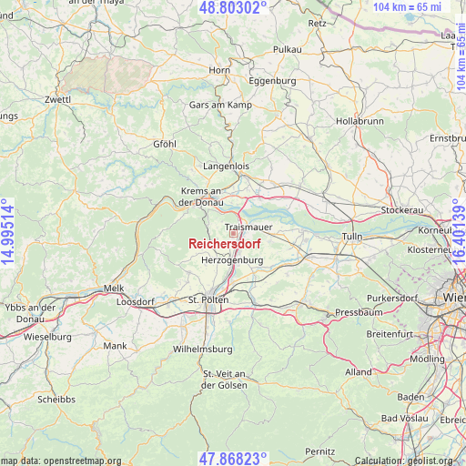
| Upper-left | 48.80302°, | 14.99514° |
| Center: | 48.33777°, | 15.69826° |
| Lower-right: | 47.86823°, | 16.40139° |
| Map W x H: | 103.9×103.9 km | = 64.6×64.6mi |
| max Lat: | 48.98333° ⇑12.3% North |
| Reichersdorf: | 48.33777° |
| min Lat: | ⇓87.7% South 46.48841° |
| min Long | Reichersdorf | max Long |
| 9.57802° | 15.69826° | 17.1° |
| W 71.9%⇐ | ⇒28.1% E |
Elevation
Elevation of Reichersdorf is 234 m = 768 ft, and this is 271.5 m = 891 ft below average elevation for this country.
| Max E: |
2140 m = 7021 ft | 87.2% |
| Avg. | 505.5 m = 1658 ft | |
| Reichersdorf | 234 m = 768 ft | |
Min E: |
118 m = 387 ft | 12.8% |
See also: Austria elevation on elevation.city.
Geographical zone
Reichersdorf is located in North temperate zone (between Tropic of Cancer and the Arctic Circle). Distance of this North polar circle is 2026.5 km =1259.2 mi to North.| Distance of | km | miles | from Reichersdorf |
|---|---|---|---|
| North Pole | 4632.4 | 2878.4 | to North |
| Arctic Circle | 2026.5 | 1259.2 | to North |
| Tropic Cancer | 2768.7 | 1720.4 | to South |
| Equator | 5374.7 | 3339.7 | to South |


Nearby cities:
15 places around Reichersdorf: (largest is in red/bold)
• Furth bei Göttweig
7.4 km =4.6 mi,  302°
302°
• Gemeinlebarn
7.9 km =4.9 mi,  91°
91°
• Getzersdorf
1.1 km =0.7 mi,  190°
190°
• Herzogenburg
6.3 km =3.9 mi,  182°
182°
• Inzersdorf ob der Traisen
3.6 km =2.2 mi,  227°
227°
• Nussdorf ob der Traisen
1.7 km =1.1 mi,  354°
354°
• Oberndorf in der Ebene
7.5 km =4.7 mi, 184°
• Ossarn
8 km =5 mi,  170°
170°
• Paudorf
6.2 km =3.9 mi,  287°
287°
• Sankt Andrä an der Traisen
4.8 km =3 mi,  162°
162°
• Statzendorf
5.4 km =3.4 mi, 231°
• Stollhofen
4.8 km =3 mi,  70°
70°
• Theiss
6.7 km =4.2 mi,  355°
355°
• Traismauer
2.9 km =1.8 mi,  62°
62°
• Wagram ob der Traisen
2.9 km =1.8 mi,  20°
20°
Sources, notices
• [Note1] Compared only with cities in Austria existing in our database
• [Src1] Map data: © OpenStreetMap contributors (CC-BY-SA)
• [Src2] Other city data from geonames.org with taken over terms of usage.
• [Src3] Geographical zone / Annual Mean Temperature by Robert A. Rohde @ Wikipedia
