Elixhausen geodata
Elixhausen (Salzburg) is a seat of a third-order administrative division; located in Austria in Europe/Vienna (GMT+2) time zone. With population of 2,963 people, there are 387 cities with bigger population in this country. Compared to other cities in Austria, 59.4% of cities are located further ↓South; 82.1% of cities are located further →East and 62.3% of cities have lower elevation than Elixhausen. Note1
Administrative division(s):
- Level 1: Salzburg
- Level 2: Politischer Bezirk Salzburg-Umgebung
- Level 3: Elixhausen


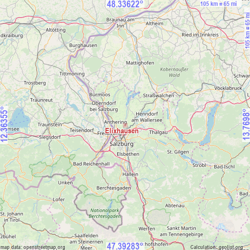
Elixhausen GPS coordinates[2]
47° 52' 0.012" North, 13° 4' 0.012" East
| Map corner | latitude | longitude |
|---|---|---|
| Upper-left | 48.33622°, | 12.36355° |
| Center: | 47.86667°, | 13.06667° |
| Lower-right: | 47.39283°, | 13.7698° |
| Map W x H: | 104.9×104.9 km | = 65.2×65.2mi |
| max Lat: | 48.98333° ⇑40.6% North |
| Elixhausen: | 47.86667° |
| min Lat: | ⇓59.4% South 46.48841° |
| min Long | Elixhausen | max Long |
| 9.57802° | 13.06667° | 17.1° |
| W 17.9%⇐ | ⇒82.1% E |
Elevation
Elevation of Elixhausen is 534 m = 1752 ft, and this is 28.5 m = 94 ft above average elevation for this country.
| Max E: |
2140 m = 7021 ft | 37.7% |
| Elixhausen | 534 m 1752 ft | |
| Avg. | 505.5 m = 1658 ft | |
Min E: |
118 m = 387 ft | 62.3% |
See also: Austria elevation on elevation.city.
Geographical zone
Elixhausen is located in North temperate zone (between Tropic of Cancer and the Arctic Circle). Distance of this North polar circle is 2078.9 km =1291.8 mi to North.| Distance of | km | miles | from Elixhausen |
|---|---|---|---|
| North Pole | 4684.8 | 2911 | to North |
| Arctic Circle | 2078.9 | 1291.8 | to North |
| Tropic Cancer | 2716.4 | 1687.9 | to South |
| Equator | 5322.3 | 3307.1 | to South |


Nearby cities:
15 places around Elixhausen: (largest is in red/bold)
• Anthering
4.2 km =2.6 mi,  296°
296°
• Bergheim
4.5 km =2.8 mi,  213°
213°
• Brunn
5.7 km =3.5 mi,  62°
62°
• Esch
3.5 km =2.2 mi,  146°
146°
• Eugenbach
5 km =3.1 mi,  88°
88°
• Eugendorf
4.4 km =2.7 mi, 88°
• Hallwang
2.2 km =1.4 mi, 146°
• Lehen
3.7 km =2.3 mi,  277°
277°
• Lengfelden
2.2 km =1.4 mi, 213°
• Schwaighofen
6.6 km =4.1 mi,  126°
126°
• Seekirchen am Wallersee
6.2 km =3.9 mi,  53°
53°
• Seewalchen
6.2 km =3.9 mi, 53°
• Waldprechting
5.3 km =3.3 mi, 45°
• Wimmsiedlung
4.9 km =3 mi, 58°
• Zilling
3.1 km =1.9 mi, 126°
Sources, notices
• [Note1] Compared only with cities in Austria existing in our database
• [Src1] Map data: © OpenStreetMap contributors (CC-BY-SA)
• [Src2] Other city data from geonames.org with taken over terms of usage.
• [Src3] Geographical zone / Annual Mean Temperature by Robert A. Rohde @ Wikipedia
