Asten geodata
Asten (Upper Austria) is a populated place; located in Austria in Europe/Vienna (GMT+1) time zone. With population of 3,214 people, there are 347 cities with bigger population in this country. Compared to other cities in Austria, 80.7% of cities are located further ↓South; 55.3% of cities are located further →East and 84.2% of cities have higher elevation than Asten. Note1
Administrative division(s):
- Level 1: Upper Austria
- Level 2: Politischer Bezirk Linz-Land
- Level 3: Asten


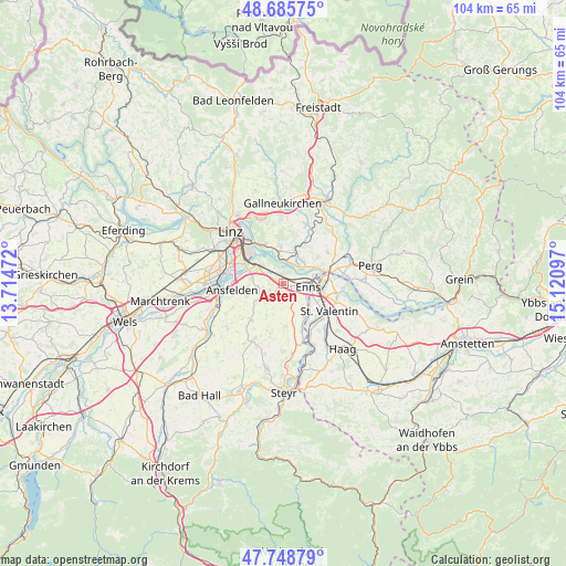
Asten GPS coordinates[2]
48° 13' 9.876" North, 14° 25' 4.224" East
| Map corner | latitude | longitude |
|---|---|---|
| Upper-left | 48.68575°, | 13.71472° |
| Center: | 48.21941°, | 14.41784° |
| Lower-right: | 47.74879°, | 15.12097° |
| Map W x H: | 104.2×104.2 km | = 64.7×64.7mi |
| max Lat: | 48.98333° ⇑19.3% North |
| Asten: | 48.21941° |
| min Lat: | ⇓80.7% South 46.48841° |
| min Long | Asten | max Long |
| 9.57802° | 14.41784° | 17.1° |
| W 44.7%⇐ | ⇒55.3% E |
Elevation
Elevation of Asten is 251 m = 823 ft, and this is 254.5 m = 835 ft below average elevation for this country.
| Max E: |
2140 m = 7021 ft | 84.2% |
| Avg. | 505.5 m = 1658 ft | |
| Asten | 251 m = 823 ft | |
Min E: |
118 m = 387 ft | 15.8% |
See also: Austria elevation on elevation.city.
Geographical zone
Asten is located in North temperate zone (between Tropic of Cancer and the Arctic Circle). Distance of this North polar circle is 2039.7 km =1267.4 mi to North.| Distance of | km | miles | from Asten |
|---|---|---|---|
| North Pole | 4645.6 | 2886.6 | to North |
| Arctic Circle | 2039.7 | 1267.4 | to North |
| Tropic Cancer | 2755.6 | 1712.2 | to South |
| Equator | 5361.5 | 3331.5 | to South |


Nearby cities:
15 places around Asten: (largest is in red/bold)
• Abwinden
4.4 km =2.7 mi,  8°
8°
• Enns
4.4 km =2.7 mi,  98°
98°
• Ennsdorf
6.4 km =4 mi, 97°
• Fisching
0.8 km =0.5 mi,  61°
61°
• Gusen
5.4 km =3.4 mi,  37°
37°
• Hiesendorf
5.7 km =3.5 mi,  129°
129°
• Kristein
2.4 km =1.5 mi, 97°
• Langenstein
5.7 km =3.5 mi,  50°
50°
• Luftenberg an der Donau
6.1 km =3.8 mi,  356°
356°
• Raffelstetten
2.3 km =1.4 mi,  331°
331°
• Rohrbach
5 km =3.1 mi,  266°
266°
• Sankt Florian
3.3 km =2.1 mi,  242°
242°
• Sankt Georgen an der Gusen
6.3 km =3.9 mi,  21°
21°
• Statzing
6.2 km =3.9 mi, 8°
• Thaling
6.3 km =3.9 mi,  141°
141°
Sources, notices
• [Note1] Compared only with cities in Austria existing in our database
• [Src1] Map data: © OpenStreetMap contributors (CC-BY-SA)
• [Src2] Other city data from geonames.org with taken over terms of usage.
• [Src3] Geographical zone / Annual Mean Temperature by Robert A. Rohde @ Wikipedia
