Rohrbach geodata
Rohrbach (Upper Austria) is a populated place; located in Austria in Europe/Vienna (GMT+2) time zone. With population of 954 people, there are 1354 cities with bigger population in this country. Compared to other cities in Austria, 80.4% of cities are located further ↓South; 56.7% of cities are located further →East and 77.5% of cities have higher elevation than Rohrbach. Note1
Administrative division(s):
- Level 1: Upper Austria
- Level 2: Politischer Bezirk Linz-Land
- Level 3: Sankt Florian


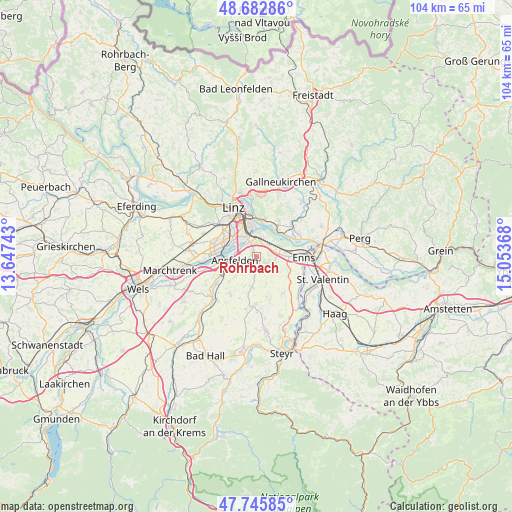
Rohrbach GPS coordinates[2]
48° 12' 59.4" North, 14° 21' 1.98" East
| Map corner | latitude | longitude |
|---|---|---|
| Upper-left | 48.68286°, | 13.64743° |
| Center: | 48.2165°, | 14.35055° |
| Lower-right: | 47.74585°, | 15.05368° |
| Map W x H: | 104.2×104.2 km | = 64.7×64.7mi |
| max Lat: | 48.98333° ⇑19.6% North |
| Rohrbach: | 48.2165° |
| min Lat: | ⇓80.4% South 46.48841° |
| min Long | Rohrbach | max Long |
| 9.57802° | 14.35055° | 17.1° |
| W 43.3%⇐ | ⇒56.7% E |
Elevation
Elevation of Rohrbach is 286 m = 938 ft, and this is 219.5 m = 720 ft below average elevation for this country.
| Max E: |
2140 m = 7021 ft | 77.5% |
| Avg. | 505.5 m = 1658 ft | |
| Rohrbach | 286 m = 938 ft | |
Min E: |
118 m = 387 ft | 22.5% |
See also: Austria elevation on elevation.city.
Geographical zone
Rohrbach is located in North temperate zone (between Tropic of Cancer and the Arctic Circle). Distance of this North polar circle is 2040 km =1267.6 mi to North.| Distance of | km | miles | from Rohrbach |
|---|---|---|---|
| North Pole | 4645.9 | 2886.8 | to North |
| Arctic Circle | 2040 | 1267.6 | to North |
| Tropic Cancer | 2755.3 | 1712.1 | to South |
| Equator | 5361.2 | 3331.3 | to South |


Nearby cities:
15 places around Rohrbach: (largest is in red/bold)
• Abwinden
7.3 km =4.5 mi,  49°
49°
• Ansfelden
4.5 km =2.8 mi,  260°
260°
• Asten
5 km =3.1 mi,  86°
86°
• Audorf
5.3 km =3.3 mi,  271°
271°
• Fisching
5.8 km =3.6 mi,  82°
82°
• Freindorf
4.2 km =2.6 mi,  283°
283°
• Haid
7.5 km =4.7 mi, 259°
• Kremsdorf
6.8 km =4.2 mi,  254°
254°
• Kristein
7.4 km =4.6 mi, 89°
• Niederneukirchen
6.2 km =3.9 mi,  187°
187°
• Raffelstetten
4.5 km =2.8 mi,  58°
58°
• Rapperswinkel
6.6 km =4.1 mi, 267°
• Sankt Dionysen
7.1 km =4.4 mi, 277°
• Sankt Florian
2.4 km =1.5 mi,  120°
120°
• Sankt Martin
6.3 km =3.9 mi, 284°
Sources, notices
• [Note1] Compared only with cities in Austria existing in our database
• [Src1] Map data: © OpenStreetMap contributors (CC-BY-SA)
• [Src2] Other city data from geonames.org with taken over terms of usage.
• [Src3] Geographical zone / Annual Mean Temperature by Robert A. Rohde @ Wikipedia
