Affental geodata
Affental (Styria) is a populated place; located in Austria in Europe/Vienna (GMT+2) time zone. With population of 783 people, there are 1649 cities with bigger population in this country. Compared to other cities in Austria, 69.7% of cities are located further ↑North; 68.3% of cities are located further ←West and 78.4% of cities have lower elevation than Affental. Note1


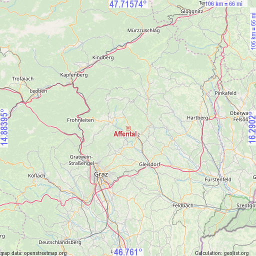
Affental GPS coordinates[2]
47° 14' 25.872" North, 15° 35' 13.452" East
| Map corner | latitude | longitude |
|---|---|---|
| Upper-left | 47.71574°, | 14.88395° |
| Center: | 47.24052°, | 15.58707° |
| Lower-right: | 46.761°, | 16.2902° |
| Map W x H: | 106.2×106.2 km | = 66×66mi |
| max Lat: | 48.98333° ⇑69.7% North |
| Affental: | 47.24052° |
| min Lat: | ⇓30.3% South 46.48841° |
| min Long | Affental | max Long |
| 9.57802° | 15.58707° | 17.1° |
| W 68.3%⇐ | ⇒31.7% E |
Elevation
Elevation of Affental is 694 m = 2277 ft, and this is 188.5 m = 618 ft above average elevation for this country.
| Max E: |
2140 m = 7021 ft | 21.6% |
| Affental | 694 m 2277 ft | |
| Avg. | 505.5 m = 1658 ft | |
Min E: |
118 m = 387 ft | 78.4% |
See also: Austria elevation on elevation.city.
Geographical zone
Affental is located in North temperate zone (between Tropic of Cancer and the Arctic Circle). Distance of this North polar circle is 2148.5 km =1335 mi to North.| Distance of | km | miles | from Affental |
|---|---|---|---|
| North Pole | 4754.4 | 2954.2 | to North |
| Arctic Circle | 2148.5 | 1335 | to North |
| Tropic Cancer | 2646.7 | 1644.6 | to South |
| Equator | 5252.7 | 3263.9 | to South |


Nearby cities:
15 places around Affental: (largest is in red/bold)
• Arzberg
5.4 km =3.4 mi,  281°
281°
• Gschwendt
7 km =4.3 mi,  189°
189°
• Göttelsberg
2.8 km =1.7 mi,  159°
159°
• Hohenau an der Raab
7.2 km =4.5 mi,  337°
337°
• Kleinsemmering
5.7 km =3.5 mi, 188°
• Krottendorf
5.7 km =3.5 mi,  142°
142°
• Landscha bei Weiz
3.5 km =2.2 mi, 139°
• Mortantsch
3.7 km =2.3 mi, 188°
• Naas
1.3 km =0.8 mi,  25°
25°
• Passail
7.1 km =4.4 mi,  311°
311°
• Preding
7.9 km =4.9 mi, 143°
• Sankt Kathrein am Offenegg
6.6 km =4.1 mi,  357°
357°
• Sankt Kathrein am Offenegg I Viertel
6.3 km =3.9 mi, 357°
• Stenzengreith
7 km =4.3 mi,  229°
229°
• Weiz
3.5 km =2.2 mi, 139°
Sources, notices
• [Note1] Compared only with cities in Austria existing in our database
• [Src1] Map data: © OpenStreetMap contributors (CC-BY-SA)
• [Src2] Other city data from geonames.org with taken over terms of usage.
• [Src3] Geographical zone / Annual Mean Temperature by Robert A. Rohde @ Wikipedia
