Fresen geodata
Fresen (Carinthia) is a seat of a third-order administrative division; located in Austria in Europe/Vienna (GMT+2) time zone. With population of 7 people, there are 2955 cities with bigger population in this country. Compared to other cities in Austria, 95.1% of cities are located further ↑North; 63.9% of cities are located further →East and 83.4% of cities have lower elevation than Fresen. Note1
Administrative division(s):
- Level 1: Carinthia
- Level 2: Politischer Bezirk Feldkirchen
- Level 3: Himmelberg


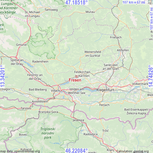
Fresen GPS coordinates[2]
46° 42' 18.576" North, 14° 2' 42.468" East
| Map corner | latitude | longitude |
|---|---|---|
| Upper-left | 47.18518°, | 13.34201° |
| Center: | 46.70516°, | 14.04513° |
| Lower-right: | 46.22084°, | 14.74826° |
| Map W x H: | 107.2×107.2 km | = 66.6×66.6mi |
| max Lat: | 48.98333° ⇑95.1% North |
| Fresen: | 46.70516° |
| min Lat: | ⇓4.9% South 46.48841° |
| min Long | Fresen | max Long |
| 9.57802° | 14.04513° | 17.1° |
| W 36.1%⇐ | ⇒63.9% E |
Elevation
Elevation of Fresen is 772 m = 2533 ft, and this is 266.5 m = 874 ft above average elevation for this country.
| Max E: |
2140 m = 7021 ft | 16.6% |
| Fresen | 772 m 2533 ft | |
| Avg. | 505.5 m = 1658 ft | |
Min E: |
118 m = 387 ft | 83.4% |
See also: Austria elevation on elevation.city.
Geographical zone
Fresen is located in North temperate zone (between Tropic of Cancer and the Arctic Circle). Distance of this North polar circle is 2208 km =1372 mi to North.| Distance of | km | miles | from Fresen |
|---|---|---|---|
| North Pole | 4813.9 | 2991.2 | to North |
| Arctic Circle | 2208 | 1372 | to North |
| Tropic Cancer | 2587.2 | 1607.6 | to South |
| Equator | 5193.1 | 3226.8 | to South |


Nearby cities:
15 places around Fresen: (largest is in red/bold)
• Bodensdorf
5.9 km =3.7 mi,  254°
254°
• Draschen
7.3 km =4.5 mi,  13°
13°
• Feldkirchen in Kärnten
4.4 km =2.7 mi,  61°
61°
• Gnesau
10 km =6.2 mi,  321°
321°
• Himmelberg
5.8 km =3.6 mi,  349°
349°
• Lindl
4 km =2.5 mi,  73°
73°
• Markstein
5.3 km =3.3 mi,  100°
100°
• Ossiach
5.8 km =3.6 mi,  233°
233°
• Sankt Ruprecht
5.3 km =3.3 mi, 58°
• Sankt Ulrich
7.4 km =4.6 mi,  47°
47°
• Seitenberg
5.8 km =3.6 mi,  34°
34°
• Steindorf am Ossiacher See
2.8 km =1.7 mi, 254°
• Tschöran
7 km =4.3 mi, 245°
• Velden am Wörthersee
10.3 km =6.4 mi,  181°
181°
• Waiern
4 km =2.5 mi, 45°
Sources, notices
• [Note1] Compared only with cities in Austria existing in our database
• [Src1] Map data: © OpenStreetMap contributors (CC-BY-SA)
• [Src2] Other city data from geonames.org with taken over terms of usage.
• [Src3] Geographical zone / Annual Mean Temperature by Robert A. Rohde @ Wikipedia
