Ufer geodata
Ufer (Upper Austria) is a populated place; located in Austria in Europe/Vienna (GMT+2) time zone. With population of 1,566 people, there are 800 cities with bigger population in this country. Compared to other cities in Austria, 82.7% of cities are located further ↓South; 53.2% of cities are located further →East and 87.7% of cities have higher elevation than Ufer. Note1
Administrative division(s):
- Level 1: Upper Austria
- Level 2: Politischer Bezirk Perg
- Level 3: Mauthausen


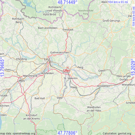
Ufer GPS coordinates[2]
48° 14' 54.312" North, 14° 29' 59.172" East
| Map corner | latitude | longitude |
|---|---|---|
| Upper-left | 48.71449°, | 13.79665° |
| Center: | 48.24842°, | 14.49977° |
| Lower-right: | 47.77806°, | 15.2029° |
| Map W x H: | 104.1×104.1 km | = 64.7×64.7mi |
| max Lat: | 48.98333° ⇑17.3% North |
| Ufer: | 48.24842° |
| min Lat: | ⇓82.7% South 46.48841° |
| min Long | Ufer | max Long |
| 9.57802° | 14.49977° | 17.1° |
| W 46.8%⇐ | ⇒53.2% E |
Elevation
Elevation of Ufer is 231 m = 758 ft, and this is 274.5 m = 901 ft below average elevation for this country.
| Max E: |
2140 m = 7021 ft | 87.7% |
| Avg. | 505.5 m = 1658 ft | |
| Ufer | 231 m = 758 ft | |
Min E: |
118 m = 387 ft | 12.3% |
See also: Austria elevation on elevation.city.
Geographical zone
Ufer is located in North temperate zone (between Tropic of Cancer and the Arctic Circle). Distance of this North polar circle is 2036.5 km =1265.4 mi to North.| Distance of | km | miles | from Ufer |
|---|---|---|---|
| North Pole | 4642.3 | 2884.6 | to North |
| Arctic Circle | 2036.5 | 1265.4 | to North |
| Tropic Cancer | 2758.8 | 1714.2 | to South |
| Equator | 5364.7 | 3333.5 | to South |


Nearby cities:
15 places around Ufer: (largest is in red/bold)
• Abwinden
5.6 km =3.5 mi,  282°
282°
• Blindendorf
3 km =1.9 mi,  344°
344°
• Enns
4.3 km =2.7 mi,  204°
204°
• Ennsdorf
4.1 km =2.5 mi,  176°
176°
• Fisching
6 km =3.7 mi,  242°
242°
• Gusen
3 km =1.9 mi,  291°
291°
• Heinrichsbrunn
2.7 km =1.7 mi,  102°
102°
• Kristein
5.1 km =3.2 mi,  226°
226°
• Langenstein
1.8 km =1.1 mi, 283°
• Loitzenberg
4.8 km =3 mi,  55°
55°
• Mauthausen
1.7 km =1.1 mi,  118°
118°
• Ried in der Riedmark
3.3 km =2.1 mi,  39°
39°
• Sankt Georgen an der Gusen
4.5 km =2.8 mi,  304°
304°
• Statzing
6 km =3.7 mi, 299°
• Wasserburg
5.4 km =3.4 mi, 57°
Sources, notices
• [Note1] Compared only with cities in Austria existing in our database
• [Src1] Map data: © OpenStreetMap contributors (CC-BY-SA)
• [Src2] Other city data from geonames.org with taken over terms of usage.
• [Src3] Geographical zone / Annual Mean Temperature by Robert A. Rohde @ Wikipedia
