Myponga geodata
Myponga (South Australia) is a populated place; located in Australia in Australia/Adelaide (GMT+10.5) time zone. With population of 709 people, there are 4312 cities with bigger population in this country. Compared to other cities in Australia, 76.5% of cities are located further ↑North; 85% of cities are located further →East and 84.6% of cities have lower elevation than Myponga. Note1


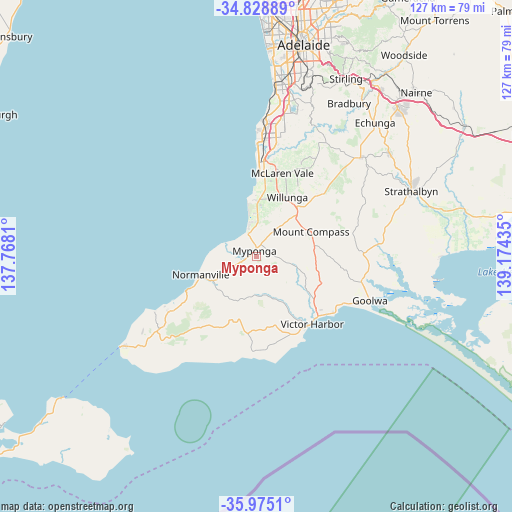
Myponga GPS coordinates[2]
35° 24' 14.508" South, 138° 28' 16.392" East
| Map corner | latitude | longitude |
|---|---|---|
| Upper-left | -34.82889°, | 137.7681° |
| Center: | -35.40403°, | 138.47122° |
| Lower-right: | -35.9751°, | 139.17435° |
| Map W x H: | 127.4×127.4 km | = 79.2×79.2mi |
| max Lat: | -10.58257° ⇑76.5% North |
| Myponga: | -35.40403° |
| min Lat: | ⇓23.5% South -43.31423° |
| min Long | Myponga | max Long |
| 113.53327° | 138.47122° | 153.61246° |
| W 15%⇐ | ⇒85% E |
Elevation
Elevation of Myponga is 241 m = 791 ft, and this is 119 m = 390 ft above average elevation for this country.
| Max E: |
1715 m = 5627 ft | 15.4% |
| Myponga | 241 m 791 ft | |
| Avg. | 122 m = 400 ft | |
Min E: |
-2 m = -7 ft | 84.6% |
See also: Australia elevation on elevation.city.
Geographical zone
Myponga is located in South temperate zone (between Tropic of Capricorn and the Antarctic Circle). Distance of this Southern Tropic circle is 1330.6 km =826.8 mi to North.| Distance of | km | miles | from Myponga |
|---|---|---|---|
| Equator | 3936.6 | 2446.1 | to North |
| Tropic Capricorn | 1330.6 | 826.8 | to North |
| Antarctic Circle | 3464.6 | 2152.8 | to South |
| South Pole | 6070.5 | 3772 | to South |


Nearby cities:
15 places around Myponga: (largest is in red/bold)
• Aldinga
13.5 km =8.4 mi,  4°
4°
• Aldinga Beach
14 km =8.7 mi,  355°
355°
• Encounter Bay
22.2 km =13.8 mi,  148°
148°
• Hayborough
21.5 km =13.4 mi,  131°
131°
• Maslin Beach
19.8 km =12.3 mi, 2°
• McCracken
20.6 km =12.8 mi,  135°
135°
• McLaren Flat
23.2 km =14.4 mi,  26°
26°
• McLaren Vale
21.6 km =13.4 mi,  17°
17°
• Mount Compass
14.9 km =9.3 mi,  64°
64°
• Normanville
14.4 km =8.9 mi,  250°
250°
• Port Willunga
15.8 km =9.8 mi, 357°
• Sellicks Beach
7.6 km =4.7 mi,  343°
343°
• Victor Harbor
21.2 km =13.2 mi, 140°
• Willunga
16.6 km =10.3 mi, 27°
• Yankalilla
12.5 km =7.8 mi,  241°
241°
Sources, notices
• [Note1] Compared only with cities in Australia existing in our database
• [Src1] Map data: © OpenStreetMap contributors (CC-BY-SA)
• [Src2] Other city data from geonames.org with taken over terms of usage.
• [Src3] Geographical zone / Annual Mean Temperature by Robert A. Rohde @ Wikipedia
