McMinns Lagoon geodata
McMinns Lagoon (Northern Territory) is a section of populated place; located in Australia in Australia/Darwin (GMT+9.5) time zone. With population of 834 people, there are 4087 cities with bigger population in this country. Compared to other cities in Australia, 98.6% of cities are located further ↓South; 87.3% of cities are located further →East and 52.4% of cities have higher elevation than McMinns Lagoon. Note1


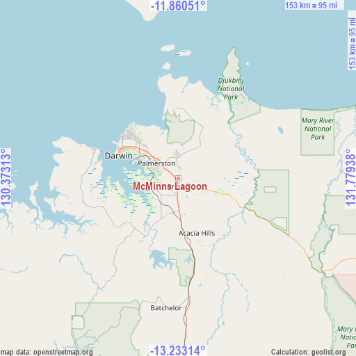
McMinns Lagoon GPS coordinates[2]
12° 32' 51.864" South, 131° 4' 34.5" East
| Map corner | latitude | longitude |
|---|---|---|
| Upper-left | -11.86051°, | 130.37313° |
| Center: | -12.54774°, | 131.07625° |
| Lower-right: | -13.23314°, | 131.77938° |
| Map W x H: | 152.6×152.6 km | = 94.8×94.8mi |
| max Lat: | -10.58257° ⇑1.4% North |
| McMinns Lagoon: | -12.54774° |
| min Lat: | ⇓98.6% South -43.31423° |
| min Long | McMinns Lagoon | max Long |
| 113.53327° | 131.07625° | 153.61246° |
| W 12.7%⇐ | ⇒87.3% E |
Elevation
Elevation of McMinns Lagoon is 42 m = 138 ft, and this is 80 m = 262 ft below average elevation for this country.
| Max E: |
1715 m = 5627 ft | 52.4% |
| Avg. | 122 m = 400 ft | |
| McMinns Lagoon | 42 m = 138 ft | |
Min E: |
-2 m = -7 ft | 47.6% |
See also: Australia elevation on elevation.city.
Geographical zone
McMinns Lagoon is located in South Torrid zone (between Equator and Tropic of Capricorn). Distance of this Southern Tropic circle is 1210.7 km =752.3 mi to South.| Distance of | km | miles | from McMinns Lagoon |
|---|---|---|---|
| Equator | 1395.2 | 866.9 | to North |
| Tropic Capricorn | 1210.7 | 752.3 | to South |
| Antarctic Circle | 6006 | 3732 | to South |
| South Pole | 8611.9 | 5351.2 | to South |


Nearby cities:
15 places around McMinns Lagoon: (largest is in red/bold)
• Bakewell
10.6 km =6.6 mi,  302°
302°
• Bees Creek
4 km =2.5 mi,  207°
207°
• Bellamack
10.6 km =6.6 mi,  288°
288°
• Coolalinga
4.7 km =2.9 mi,  305°
305°
• Farrar
11.3 km =7 mi, 311°
• Girraween
3.3 km =2.1 mi,  40°
40°
• Gunn
11.2 km =7 mi, 306°
• Herbert
9.4 km =5.8 mi,  80°
80°
• Howard Springs
6.7 km =4.2 mi,  329°
329°
• Humpty Doo
7.7 km =4.8 mi,  121°
121°
• Johnston
9.7 km =6 mi, 313°
• Rosebery
10.5 km =6.5 mi, 293°
• Virginia
6.1 km =3.8 mi, 301°
• Woodroffe
11.6 km =7.2 mi, 296°
• Zuccoli
8.8 km =5.5 mi, 300°
Sources, notices
• [Note1] Compared only with cities in Australia existing in our database
• [Src1] Map data: © OpenStreetMap contributors (CC-BY-SA)
• [Src2] Other city data from geonames.org with taken over terms of usage.
• [Src3] Geographical zone / Annual Mean Temperature by Robert A. Rohde @ Wikipedia
