Kendall geodata
Kendall (New South Wales) is a populated place; located in Australia in Australia/Sydney (GMT+11) time zone. With population of 1,109 people, there are 3688 cities with bigger population in this country. Compared to other cities in Australia, 69.3% of cities are located further ↓South; 85.8% of cities are located further ←West and 72.3% of cities have higher elevation than Kendall. Note1


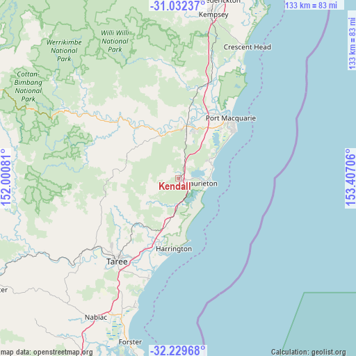
Kendall GPS coordinates[2]
31° 37' 58.62" South, 152° 42' 14.148" East
| Map corner | latitude | longitude |
|---|---|---|
| Upper-left | -31.03237°, | 152.00081° |
| Center: | -31.63295°, | 152.70393° |
| Lower-right: | -32.22968°, | 153.40706° |
| Map W x H: | 133.1×133.1 km | = 82.7×82.7mi |
| max Lat: | -10.58257° ⇑30.7% North |
| Kendall: | -31.63295° |
| min Lat: | ⇓69.3% South -43.31423° |
| min Long | Kendall | max Long |
| 113.53327° | 152.70393° | 153.61246° |
| W 85.8%⇐ | ⇒14.2% E |
Elevation
Elevation of Kendall is 21 m = 69 ft, and this is 101 m = 331 ft below average elevation for this country.
| Max E: |
1715 m = 5627 ft | 72.3% |
| Avg. | 122 m = 400 ft | |
| Kendall | 21 m = 69 ft | |
Min E: |
-2 m = -7 ft | 27.7% |
See also: Australia elevation on elevation.city.
Geographical zone
Kendall is located in South temperate zone (between Tropic of Capricorn and the Antarctic Circle). Distance of this Southern Tropic circle is 911.3 km =566.3 mi to North.| Distance of | km | miles | from Kendall |
|---|---|---|---|
| Equator | 3517.3 | 2185.5 | to North |
| Tropic Capricorn | 911.3 | 566.3 | to North |
| Antarctic Circle | 3883.9 | 2413.3 | to South |
| South Pole | 6489.8 | 4032.6 | to South |


Nearby cities:
15 places around Kendall: (largest is in red/bold)
• Beechwood
22 km =13.7 mi,  353°
353°
• Bonny Hills
13.6 km =8.5 mi,  69°
69°
• Camden Haven
8.7 km =5.4 mi,  98°
98°
• Coopernook
23.1 km =14.4 mi,  202°
202°
• Crosslands
21.6 km =13.4 mi,  2°
2°
• Dunbogan
10.8 km =6.7 mi, 100°
• Kew
2.2 km =1.4 mi, 99°
• King Creek
16.4 km =10.2 mi,  17°
17°
• Lake Cathie
16.9 km =10.5 mi,  57°
57°
• Lakewood
5.1 km =3.2 mi,  88°
88°
• Lansdowne
23.1 km =14.4 mi,  223°
223°
• North Haven
10.4 km =6.5 mi, 92°
• Upper Lansdowne
24.1 km =15 mi,  248°
248°
• Wauchope
19.6 km =12.2 mi,  6°
6°
• West Haven
7.6 km =4.7 mi, 92°
Sources, notices
• [Note1] Compared only with cities in Australia existing in our database
• [Src1] Map data: © OpenStreetMap contributors (CC-BY-SA)
• [Src2] Other city data from geonames.org with taken over terms of usage.
• [Src3] Geographical zone / Annual Mean Temperature by Robert A. Rohde @ Wikipedia
