Haddon geodata
Haddon (Victoria) is a populated place; located in Australia in Australia/Melbourne (GMT+11) time zone. With population of 1,175 people, there are 3614 cities with bigger population in this country. Compared to other cities in Australia, 83.6% of cities are located further ↑North; 73.4% of cities are located further →East and 90.3% of cities have lower elevation than Haddon. Note1


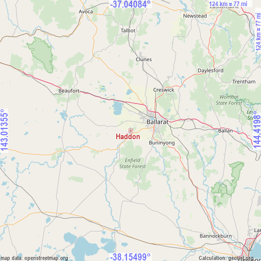
Haddon GPS coordinates[2]
37° 36' 0" South, 143° 43' 0.012" East
| Map corner | latitude | longitude |
|---|---|---|
| Upper-left | -37.04084°, | 143.01355° |
| Center: | -37.6°, | 143.71667° |
| Lower-right: | -38.15499°, | 144.4198° |
| Map W x H: | 123.9×123.9 km | = 77×77mi |
| max Lat: | -10.58257° ⇑83.6% North |
| Haddon: | -37.6° |
| min Lat: | ⇓16.4% South -43.31423° |
| min Long | Haddon | max Long |
| 113.53327° | 143.71667° | 153.61246° |
| W 26.6%⇐ | ⇒73.4% E |
Elevation
Elevation of Haddon is 386 m = 1266 ft, and this is 264 m = 866 ft above average elevation for this country.
| Max E: |
1715 m = 5627 ft | 9.7% |
| Haddon | 386 m 1266 ft | |
| Avg. | 122 m = 400 ft | |
Min E: |
-2 m = -7 ft | 90.3% |
See also: Australia elevation on elevation.city.
Geographical zone
Haddon is located in South temperate zone (between Tropic of Capricorn and the Antarctic Circle). Distance of this Southern Tropic circle is 1574.8 km =978.5 mi to North.| Distance of | km | miles | from Haddon |
|---|---|---|---|
| Equator | 4180.7 | 2597.8 | to North |
| Tropic Capricorn | 1574.8 | 978.5 | to North |
| Antarctic Circle | 3220.4 | 2001.1 | to South |
| South Pole | 5826.3 | 3620.3 | to South |


Nearby cities:
15 places around Haddon: (largest is in red/bold)
• Alfredton
9.6 km =6 mi,  67°
67°
• Cardigan
8 km =5 mi,  21°
21°
• Cardigan Village
9.3 km =5.8 mi,  358°
358°
• Delacombe
8.7 km =5.4 mi,  82°
82°
• Lake Gardens
10.6 km =6.6 mi,  55°
55°
• Lucas
8 km =5 mi,  40°
40°
• Mitchell Park
11.8 km =7.3 mi,  28°
28°
• Newington
10.6 km =6.6 mi, 64°
• Redan
11.1 km =6.9 mi, 76°
• Ross Creek
6.3 km =3.9 mi,  152°
152°
• Scarsdale
9.9 km =6.2 mi,  206°
206°
• Sebastopol
10.9 km =6.8 mi, 81°
• Smythes Creek
5.9 km =3.7 mi,  90°
90°
• Smythesdale
5.5 km =3.4 mi, 209°
• Snake Valley
11.7 km =7.3 mi,  263°
263°
Sources, notices
• [Note1] Compared only with cities in Australia existing in our database
• [Src1] Map data: © OpenStreetMap contributors (CC-BY-SA)
• [Src2] Other city data from geonames.org with taken over terms of usage.
• [Src3] Geographical zone / Annual Mean Temperature by Robert A. Rohde @ Wikipedia
