Cardigan geodata
Cardigan (Victoria) is a section of populated place; located in Australia in Australia/Melbourne (GMT+11) time zone. With population of 763 people, there are 4219 cities with bigger population in this country. Compared to other cities in Australia, 82.7% of cities are located further ↑North; 73.4% of cities are located further →East and 91.3% of cities have lower elevation than Cardigan. Note1


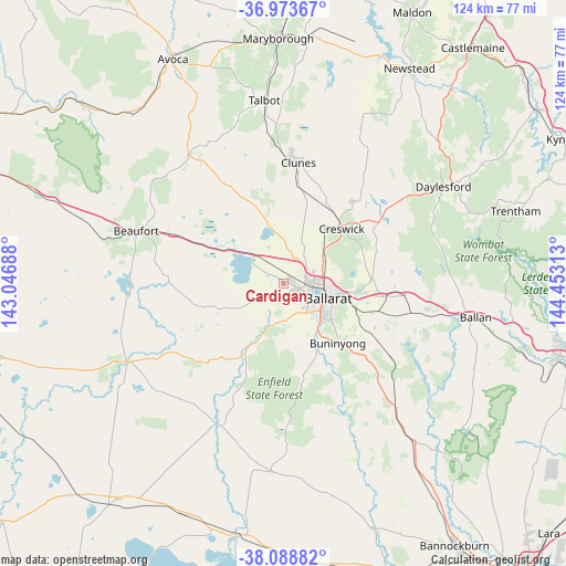
Cardigan GPS coordinates[2]
37° 31' 59.988" South, 143° 45' 0" East
| Map corner | latitude | longitude |
|---|---|---|
| Upper-left | -36.97367°, | 143.04688° |
| Center: | -37.53333°, | 143.75° |
| Lower-right: | -38.08882°, | 144.45313° |
| Map W x H: | 124×124 km | = 77.1×77.1mi |
| max Lat: | -10.58257° ⇑82.7% North |
| Cardigan: | -37.53333° |
| min Lat: | ⇓17.3% South -43.31423° |
| min Long | Cardigan | max Long |
| 113.53327° | 143.75° | 153.61246° |
| W 26.6%⇐ | ⇒73.4% E |
Elevation
Elevation of Cardigan is 422 m = 1385 ft, and this is 300 m = 984 ft above average elevation for this country.
| Max E: |
1715 m = 5627 ft | 8.7% |
| Cardigan | 422 m 1385 ft | |
| Avg. | 122 m = 400 ft | |
Min E: |
-2 m = -7 ft | 91.3% |
See also: Australia elevation on elevation.city.
Geographical zone
Cardigan is located in South temperate zone (between Tropic of Capricorn and the Antarctic Circle). Distance of this Southern Tropic circle is 1567.4 km =973.9 mi to North.| Distance of | km | miles | from Cardigan |
|---|---|---|---|
| Equator | 4173.3 | 2593.2 | to North |
| Tropic Capricorn | 1567.4 | 973.9 | to North |
| Antarctic Circle | 3227.9 | 2005.7 | to South |
| South Pole | 5833.7 | 3624.9 | to South |


Nearby cities:
15 places around Cardigan: (largest is in red/bold)
• Alfredton
6.9 km =4.3 mi,  122°
122°
• Ballarat Central
9.4 km =5.8 mi,  109°
109°
• Cardigan Village
3.7 km =2.3 mi,  300°
300°
• Delacombe
8.4 km =5.2 mi,  137°
137°
• Haddon
8 km =5 mi,  201°
201°
• Invermay Park
9.5 km =5.9 mi,  88°
88°
• Lake Gardens
6 km =3.7 mi,  103°
103°
• Lake Wendouree
8.8 km =5.5 mi, 102°
• Lucas
2.7 km =1.7 mi, 121°
• Miners Rest
7.4 km =4.6 mi,  37°
37°
• Mitchell Park
3.9 km =2.4 mi, 41°
• Newington
7.2 km =4.5 mi, 112°
• Redan
9.2 km =5.7 mi, 121°
• Smythes Creek
8 km =5 mi,  158°
158°
• Wendouree
6.9 km =4.3 mi, 87°
Sources, notices
• [Note1] Compared only with cities in Australia existing in our database
• [Src1] Map data: © OpenStreetMap contributors (CC-BY-SA)
• [Src2] Other city data from geonames.org with taken over terms of usage.
• [Src3] Geographical zone / Annual Mean Temperature by Robert A. Rohde @ Wikipedia
