Glass House Mountains geodata
Glass House Mountains (Queensland) is a section of populated place; located in Australia in Australia/Brisbane (GMT+10) time zone. With population of 4,998 people, there are 1476 cities with bigger population in this country. Compared to other cities in Australia, 85.7% of cities are located further ↓South; 89.7% of cities are located further ←West and 51.7% of cities have higher elevation than Glass House Mountains. Note1
Current local time in Glass House Mountains:
01:28 PM, ThursdayDifference from your time zone: hours


Glass House Mountains GPS coordinates[2]
26° 53' 51.288" South, 152° 57' 11.484" East
| Map corner | latitude | longitude |
|---|---|---|
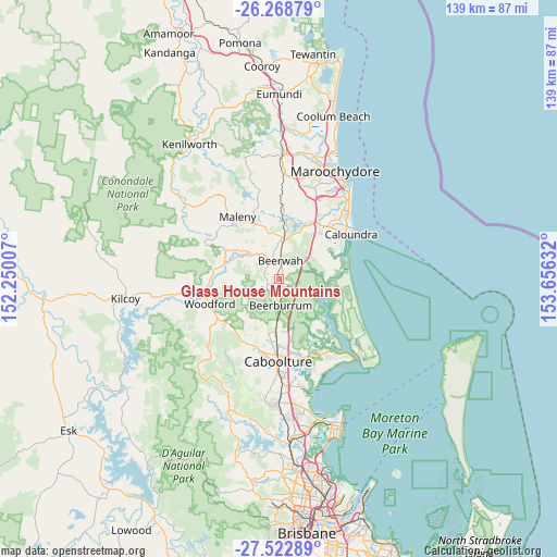
| Upper-left | -26.26879°, | 152.25007° |
| Center: | -26.89758°, | 152.95319° |
| Lower-right: | -27.52289°, | 153.65632° |
| Map W x H: | 139.4×139.4 km | = 86.6×86.6mi |
| max Lat: | -10.58257° ⇑14.3% North |
| Glass House Mountains: | -26.89758° |
| min Lat: | ⇓85.7% South -43.31423° |
| min Long | Glass House Mou | max Long |
| 113.53327° | 152.95319° | 153.61246° |
| W 89.7%⇐ | ⇒10.3% E |
Elevation
Elevation of Glass House Mountains is 43 m = 141 ft, and this is 79 m = 259 ft below average elevation for this country.
| Max E: |
1715 m = 5627 ft | 51.7% |
| Avg. | 122 m = 400 ft | |
| Glass House Mountains | 43 m = 141 ft | |
Min E: |
-2 m = -7 ft | 48.3% |
See also: Australia elevation on elevation.city.
Geographical zone
Glass House Mountains is located in South temperate zone (between Tropic of Capricorn and the Antarctic Circle). Distance of this Southern Tropic circle is 384.8 km =239.1 mi to North.| Distance of | km | miles | from Glass House Mountains |
|---|---|---|---|
| Equator | 2990.7 | 1858.3 | to North |
| Tropic Capricorn | 384.8 | 239.1 | to North |
| Antarctic Circle | 4410.4 | 2740.5 | to South |
| South Pole | 7016.3 | 4359.7 | to South |


Nearby cities:
15 places around Glass House Mountains: (largest is in red/bold)
• Beerburrum
6.6 km =4.1 mi,  178°
178°
• Beerwah
4.4 km =2.7 mi,  10°
10°
• Caloundra West
18.5 km =11.5 mi,  56°
56°
• Donnybrook
16.4 km =10.2 mi,  136°
136°
• D’Aguilar
17.9 km =11.1 mi,  237°
237°
• Elimbah
13.2 km =8.2 mi, 181°
• Glenview
15.9 km =9.9 mi,  23°
23°
• Golden Beach
18.5 km =11.5 mi, 62°
• Landsborough
10.1 km =6.3 mi,  4°
4°
• Maleny
18.4 km =11.4 mi,  326°
326°
• Meridan Plains
17.5 km =10.9 mi,  38°
38°
• Peachester
9 km =5.6 mi,  310°
310°
• Pelican Waters
16.2 km =10.1 mi, 63°
• Wamuran
18 km =11.2 mi,  208°
208°
• Woodford
18.5 km =11.5 mi,  250°
250°
Sources, notices
• [Note1] Compared only with cities in Australia existing in our database
• [Src1] Map data: © OpenStreetMap contributors (CC-BY-SA)
• [Src2] Other city data from geonames.org with taken over terms of usage.
• [Src3] Geographical zone / Annual Mean Temperature by Robert A. Rohde @ Wikipedia
