Bowral geodata
Bowral (New South Wales) is a populated place; located in Australia in Australia/Sydney (GMT+11) time zone. With population of 10,240 people, there are 568 cities with bigger population in this country. Compared to other cities in Australia, 63.1% of cities are located further ↑North; 58.2% of cities are located further ←West and 98.1% of cities have lower elevation than Bowral. Note1


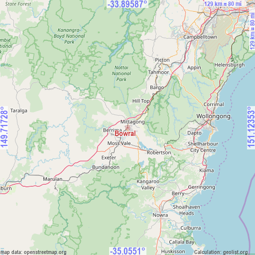
Bowral GPS coordinates[2]
34° 28' 39" South, 150° 25' 13.44" East
| Map corner | latitude | longitude |
|---|---|---|
| Upper-left | -33.89587°, | 149.71728° |
| Center: | -34.4775°, | 150.4204° |
| Lower-right: | -35.0551°, | 151.12353° |
| Map W x H: | 128.9×128.9 km | = 80.1×80.1mi |
| max Lat: | -10.58257° ⇑63.1% North |
| Bowral: | -34.4775° |
| min Lat: | ⇓36.9% South -43.31423° |
| min Long | Bowral | max Long |
| 113.53327° | 150.4204° | 153.61246° |
| W 58.2%⇐ | ⇒41.8% E |
Elevation
Elevation of Bowral is 679 m = 2228 ft, and this is 557 m = 1827 ft above average elevation for this country.
| Max E: |
1715 m = 5627 ft | 1.9% |
| Bowral | 679 m 2228 ft | |
| Avg. | 122 m = 400 ft | |
Min E: |
-2 m = -7 ft | 98.1% |
See also: Australia elevation on elevation.city.
Geographical zone
Bowral is located in South temperate zone (between Tropic of Capricorn and the Antarctic Circle). Distance of this Southern Tropic circle is 1227.6 km =762.8 mi to North.| Distance of | km | miles | from Bowral |
|---|---|---|---|
| Equator | 3833.5 | 2382 | to North |
| Tropic Capricorn | 1227.6 | 762.8 | to North |
| Antarctic Circle | 3567.6 | 2216.8 | to South |
| South Pole | 6173.5 | 3836 | to South |


Nearby cities:
15 places around Bowral: (largest is in red/bold)
• Berrima
7.5 km =4.7 mi,  261°
261°
• Bundanoon
22.9 km =14.2 mi,  209°
209°
• Burradoo
3 km =1.9 mi,  200°
200°
• Colo Vale
10.4 km =6.5 mi,  35°
35°
• Exeter
17.6 km =10.9 mi, 211°
• Hill Top
16 km =9.9 mi,  25°
25°
• Mittagong
3.8 km =2.4 mi, 37°
• Moss Vale
9.6 km =6 mi, 208°
• New Berrima
8.3 km =5.2 mi,  249°
249°
• Renwick
5.6 km =3.5 mi,  54°
54°
• Robertson
19.9 km =12.4 mi,  128°
128°
• Welby
4.4 km =2.7 mi,  12°
12°
• Willow Vale
6.6 km =4.1 mi, 43°
• Yanderra
22.6 km =14 mi, 38°
• Yerrinbool
16.2 km =10.1 mi, 41°
Sources, notices
• [Note1] Compared only with cities in Australia existing in our database
• [Src1] Map data: © OpenStreetMap contributors (CC-BY-SA)
• [Src2] Other city data from geonames.org with taken over terms of usage.
• [Src3] Geographical zone / Annual Mean Temperature by Robert A. Rohde @ Wikipedia
