Bonnet Bay geodata
Bonnet Bay (New South Wales) is a section of populated place; located in Australia in Australia/Sydney (GMT+10) time zone. With population of 2,169 people, there are 2778 cities with bigger population in this country. Compared to other cities in Australia, 59.2% of cities are located further ↑North; 68.6% of cities are located further ←West and 60.7% of cities have lower elevation than Bonnet Bay. Note1


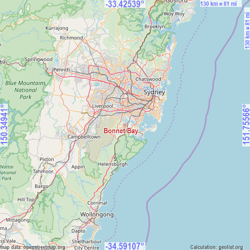
Bonnet Bay GPS coordinates[2]
34° 0' 36.828" South, 151° 3' 9.108" East
| Map corner | latitude | longitude |
|---|---|---|
| Upper-left | -33.42539°, | 150.34941° |
| Center: | -34.01023°, | 151.05253° |
| Lower-right: | -34.59107°, | 151.75566° |
| Map W x H: | 129.6×129.6 km | = 80.5×80.5mi |
| max Lat: | -10.58257° ⇑59.2% North |
| Bonnet Bay: | -34.01023° |
| min Lat: | ⇓40.8% South -43.31423° |
| min Long | Bonnet Bay | max Long |
| 113.53327° | 151.05253° | 153.61246° |
| W 68.6%⇐ | ⇒31.4% E |
Elevation
Elevation of Bonnet Bay is 66 m = 217 ft, and this is 56 m = 184 ft below average elevation for this country.
| Max E: |
1715 m = 5627 ft | 39.3% |
| Avg. | 122 m = 400 ft | |
| Bonnet Bay | 66 m = 217 ft | |
Min E: |
-2 m = -7 ft | 60.7% |
See also: Australia elevation on elevation.city.
Geographical zone
Bonnet Bay is located in South temperate zone (between Tropic of Capricorn and the Antarctic Circle). Distance of this Southern Tropic circle is 1175.7 km =730.5 mi to North.| Distance of | km | miles | from Bonnet Bay |
|---|---|---|---|
| Equator | 3781.6 | 2349.8 | to North |
| Tropic Capricorn | 1175.7 | 730.5 | to North |
| Antarctic Circle | 3619.6 | 2249.1 | to South |
| South Pole | 6225.5 | 3868.3 | to South |


Nearby cities:
15 places around Bonnet Bay: (largest is in red/bold)
• Alfords Point
3.6 km =2.2 mi,  315°
315°
• Bangor
1.9 km =1.2 mi,  247°
247°
• Como
1.6 km =1 mi,  41°
41°
• Illawong
2.1 km =1.3 mi,  302°
302°
• Jannali
1 km =0.6 mi,  132°
132°
• Kareela
2.9 km =1.8 mi,  96°
96°
• Kirrawee
3.5 km =2.2 mi,  154°
154°
• Lugarno
3.2 km =2 mi,  342°
342°
• Menai
3.4 km =2.1 mi,  257°
257°
• Oatley
3.8 km =2.4 mi,  28°
28°
• Oyster Bay
2.3 km =1.4 mi,  72°
72°
• Peakhurst Heights
3.7 km =2.3 mi,  4°
4°
• Sutherland
2.3 km =1.4 mi,  173°
173°
• Woronora
2 km =1.2 mi,  219°
219°
• Woronora Heights
3.7 km =2.3 mi, 219°
Sources, notices
• [Note1] Compared only with cities in Australia existing in our database
• [Src1] Map data: © OpenStreetMap contributors (CC-BY-SA)
• [Src2] Other city data from geonames.org with taken over terms of usage.
• [Src3] Geographical zone / Annual Mean Temperature by Robert A. Rohde @ Wikipedia
