Ridgewood geodata
Ridgewood (Western Australia) is a section of populated place; located in Australia in Australia/Perth (GMT+8) time zone. With population of 4,529 people, there are 1618 cities with bigger population in this country. Compared to other cities in Australia, 69.1% of cities are located further ↓South; 98% of cities are located further →East and 52% of cities have lower elevation than Ridgewood. Note1


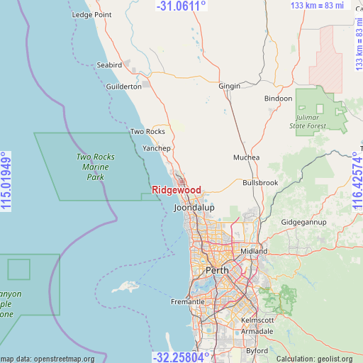
Ridgewood GPS coordinates[2]
31° 39' 41.4" South, 115° 43' 21.396" East
| Map corner | latitude | longitude |
|---|---|---|
| Upper-left | -31.0611°, | 115.01949° |
| Center: | -31.6615°, | 115.72261° |
| Lower-right: | -32.25804°, | 116.42574° |
| Map W x H: | 133.1×133.1 km | = 82.7×82.7mi |
| max Lat: | -10.58257° ⇑30.9% North |
| Ridgewood: | -31.6615° |
| min Lat: | ⇓69.1% South -43.31423° |
| min Long | Ridgewood | max Long |
| 113.53327° | 115.72261° | 153.61246° |
| W 2%⇐ | ⇒98% E |
Elevation
Elevation of Ridgewood is 48 m = 157 ft, and this is 74 m = 243 ft below average elevation for this country.
| Max E: |
1715 m = 5627 ft | 48% |
| Avg. | 122 m = 400 ft | |
| Ridgewood | 48 m = 157 ft | |
Min E: |
-2 m = -7 ft | 52% |
See also: Australia elevation on elevation.city.
Geographical zone
Ridgewood is located in South temperate zone (between Tropic of Capricorn and the Antarctic Circle). Distance of this Southern Tropic circle is 914.5 km =568.2 mi to North.| Distance of | km | miles | from Ridgewood |
|---|---|---|---|
| Equator | 3520.4 | 2187.5 | to North |
| Tropic Capricorn | 914.5 | 568.2 | to North |
| Antarctic Circle | 3880.7 | 2411.4 | to South |
| South Pole | 6486.6 | 4030.6 | to South |


Nearby cities:
15 places around Ridgewood: (largest is in red/bold)
• Alkimos
4.9 km =3 mi,  315°
315°
• Banksia Grove
8.7 km =5.4 mi,  116°
116°
• Burns Beach
6.6 km =4.1 mi,  181°
181°
• Butler
2.7 km =1.7 mi, 319°
• Carramar
5.6 km =3.5 mi, 124°
• Clarkson
2.4 km =1.5 mi, 175°
• Currambine
8.3 km =5.2 mi,  163°
163°
• Eglinton
8.9 km =5.5 mi,  338°
338°
• Iluka
8.3 km =5.2 mi,  174°
174°
• Jindalee
2.9 km =1.8 mi,  297°
297°
• Kinross
6.5 km =4 mi, 166°
• Merriwa
1 km =0.6 mi,  247°
247°
• Mindarie
3.4 km =2.1 mi,  205°
205°
• Quinns Rocks
2.3 km =1.4 mi,  232°
232°
• Tapping
9.4 km =5.8 mi,  133°
133°
Sources, notices
• [Note1] Compared only with cities in Australia existing in our database
• [Src1] Map data: © OpenStreetMap contributors (CC-BY-SA)
• [Src2] Other city data from geonames.org with taken over terms of usage.
• [Src3] Geographical zone / Annual Mean Temperature by Robert A. Rohde @ Wikipedia
