Eden Hills geodata
Eden Hills (South Australia) is a section of populated place; located in Australia in Australia/Adelaide (GMT+10.5) time zone. With population of 2,882 people, there are 2325 cities with bigger population in this country. Compared to other cities in Australia, 71.9% of cities are located further ↑North; 81.5% of cities are located further →East and 81.8% of cities have lower elevation than Eden Hills. Note1


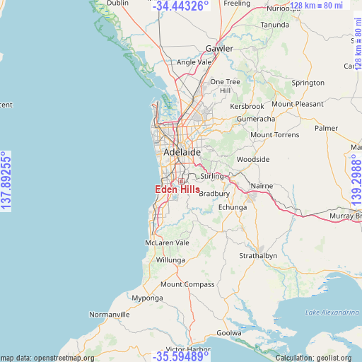
Eden Hills GPS coordinates[2]
35° 1' 15.96" South, 138° 35' 44.412" East
| Map corner | latitude | longitude |
|---|---|---|
| Upper-left | -34.44326°, | 137.89255° |
| Center: | -35.0211°, | 138.59567° |
| Lower-right: | -35.59489°, | 139.2988° |
| Map W x H: | 128×128 km | = 79.5×79.5mi |
| max Lat: | -10.58257° ⇑71.9% North |
| Eden Hills: | -35.0211° |
| min Lat: | ⇓28.1% South -43.31423° |
| min Long | Eden Hills | max Long |
| 113.53327° | 138.59567° | 153.61246° |
| W 18.5%⇐ | ⇒81.5% E |
Elevation
Elevation of Eden Hills is 202 m = 663 ft, and this is 80 m = 262 ft above average elevation for this country.
| Max E: |
1715 m = 5627 ft | 18.2% |
| Eden Hills | 202 m 663 ft | |
| Avg. | 122 m = 400 ft | |
Min E: |
-2 m = -7 ft | 81.8% |
See also: Australia elevation on elevation.city.
Geographical zone
Eden Hills is located in South temperate zone (between Tropic of Capricorn and the Antarctic Circle). Distance of this Southern Tropic circle is 1288.1 km =800.4 mi to North.| Distance of | km | miles | from Eden Hills |
|---|---|---|---|
| Equator | 3894 | 2419.6 | to North |
| Tropic Capricorn | 1288.1 | 800.4 | to North |
| Antarctic Circle | 3507.2 | 2179.3 | to South |
| South Pole | 6113.1 | 3798.5 | to South |


Nearby cities:
15 places around Eden Hills: (largest is in red/bold)
• Bedford Park
2.5 km =1.6 mi,  267°
267°
• Belair
3.5 km =2.2 mi,  41°
41°
• Bellevue Heights
1.5 km =0.9 mi,  228°
228°
• Blackwood
1.7 km =1.1 mi,  91°
91°
• Clapham
3.5 km =2.2 mi,  8°
8°
• Clovelly Park
3.3 km =2.1 mi,  316°
316°
• Craigburn Farm
2.3 km =1.4 mi,  158°
158°
• Daw Park
3.6 km =2.2 mi,  343°
343°
• Flagstaff Hill
3.3 km =2.1 mi,  200°
200°
• Glenalta
3.1 km =1.9 mi,  61°
61°
• Hawthorndene
3.2 km =2 mi, 92°
• Mitchell Park
3.2 km =2 mi,  291°
291°
• Panorama
3.4 km =2.1 mi, 5°
• Pasadena
2.1 km =1.3 mi, 342°
• St Marys
2.4 km =1.5 mi, 322°
Sources, notices
• [Note1] Compared only with cities in Australia existing in our database
• [Src1] Map data: © OpenStreetMap contributors (CC-BY-SA)
• [Src2] Other city data from geonames.org with taken over terms of usage.
• [Src3] Geographical zone / Annual Mean Temperature by Robert A. Rohde @ Wikipedia
